What is recorded here
Garrynphuca Fort is a fairy fort in County Limerick, Ireland, where a raised earthen ring still stands beside pasture and mature conifers. The site appears on maps from 1840 and 1897, yet local tradition treats it as belonging to unseen inhabitants rather than ordinary people. Its bank, scarp and dry interior suggest a place shaped before human memory, watching the slope from NW to E while lane and water channel mark its boundaries.
In pasture, on moderate N-facing slope, with excellent views from NW-E. Annotated ‘Garrynphuca Fort’ on the 1840 ed. OSi 6-inch map where depicted as a raised D-shaped area defined by a scarp, intersected at SW by a lane running NW-SE. Shown on the 1897 ed. OSi 25-inch map as a raised roughly circular-shaped area defined by a scarp, intersected at SW by a field boundary running N-S. Surveyed in 1999 and described as a raised sub-circular shaped area (dims. 26m N-S; 27.5m E-W) enclosed by a bank from S-W (Overall Wth 6m; int. H 0.35m; ext. H 2.3m) reduced to a scarp (Wth 2.1m; H 2.35m) elsewhere. Site intersected from NE-SE by water channel running from hill to S. Interior level, dry and planted with mature conifers. Tree-covered monument visible on Digital Globe orthoimage taken between 2011-2013 and on Google Earth orthoimages.
See attached sketch plan surveyed and drawn by ASI and Google Earth orthoimages
Compiled by: Fiona Rooney
Date of upload: 19 November 2021
The monument record does not grant public access. Check the route and ask the landowner before entering private land.
- What survives
- Recorded monument
Places near here
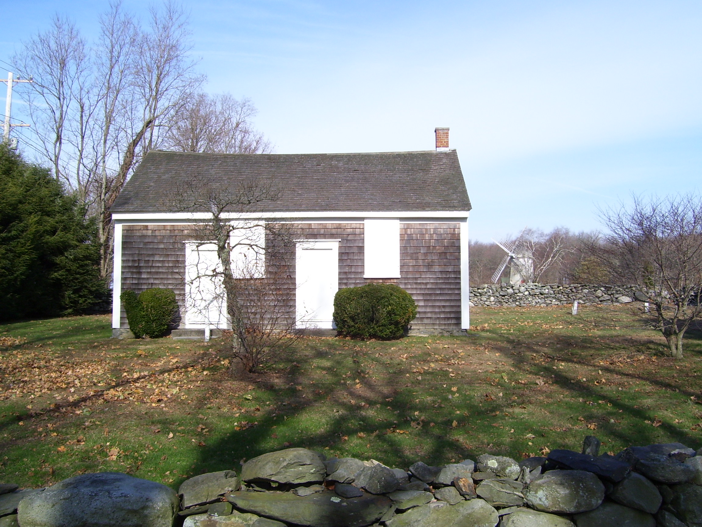 Enclosure in JamestownEnclosure · 1295 yd
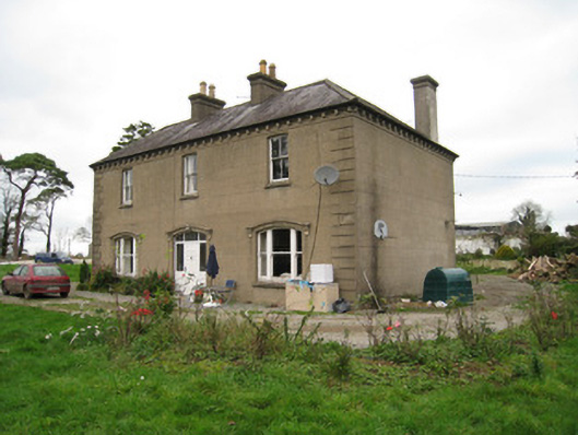 Ballyvoodane Househouse · 1448 yd
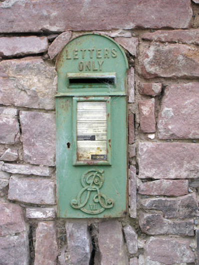 post boxpost box · 1564 yd
 Caher HillMountain / peak · 1614 yd
 Burial mound in JamestownBurial mound · 1632 yd
 Ballymacshaneboy Castle (in ruins)Castle, unclassified · 1.6 mi
 Castle PhilipMountain / peak · 1.7 mi
 Castle (in ruins)Castle, unclassified · 1.7 mi
 BallinaboolaVisitor information · 2.5 mi
 St Bridget's WellSpring · 2.9 mi
 Lady's WellSpring · 3.1 mi
 Ballyhoura tourist informationVisitor information · 4.2 mi