What is recorded here
In lowlying area of scrub. Rectangular stone aligned NE-SW (H 1.2m; 0.95m x 0.35m). Prostrate slab 4m to S may be second stone of two 'Gallauns' marked on map.
The above description is derived from the published 'Archaeological Inventory of County Cork. Volume 1: West Cork' (Dublin: Stationery Office, 1992). In certain instances the entries have been revised and updated in the light of recent research.
Date of upload/revision: 14 January 2009
Likely dating to the Early Christian or medieval period, the term "Gallaun" may derive from a personal name or local tradition, suggesting a possible association with early settlements or boundary markers. The alignment and possible pairing with a second stone indicate a potential ritual or territorial function, though specific folklore or use remains unrecorded.
The monument record does not grant public access. Check the route and ask the landowner before entering private land.
- What survives
- Recorded monument
Places near here
 Maughanasilly Stone RowArchaeological place · 471 yd
 Stone CirclesCairn, unclassified · 769 yd
 KnockbreteenMountain / peak · 997 yd
 Bulls PocketMountain / peak · 1.1 mi
 Carriganass CastleCastle · 1.4 mi
 Carriganass Bridgebridge · 1.4 mi
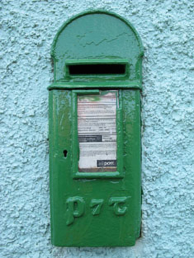 post boxpost box · 1.7 mi
 Kealkill stone circleVisitor information · 2.1 mi
 St Finbarr's Pilgrim RouteWalking route · 3.1 mi
 Coomhola Salmon Trust (Streamscapes)Museum · 3.5 mi
 Daly's LoopWalking route · 3.5 mi
 The Priests LeapViewpoint · 3.9 mi