What is recorded here
One gallaun still stands on the lower slopes of Hungry Hill, overlooking Bear Haven and Bear Island, though an 1897 map showed three stones at that place. The surviving rectangular slab rises 1.57 metres and points east-northeast, squat enough to seem less like a monument than like a shoulder pushed up through the land. The others may have fallen, been taken, or never have been where the surveyors believed. What is certain is that the hill kept one stone visible, holding the lost pair in silence.
On lower slopes of Hungry Hill overlooking Bear Haven and Bear Island to S. Three stones shown on OS 6-inch map (1897). Rectangular stone aligned ENE-WSW (H 1.57m; 0.7m x 0.5m).
The above description is derived from the published 'Archaeological Inventory of County Cork. Volume 1: West Cork' (Dublin: Stationery Office, 1992). In certain instances the entries have been revised and updated in the light of recent research.
Date of upload/revision: 14 January 2009
The monument record does not grant public access. Check the route and ask the landowner before entering private land.
- What survives
- Recorded monument
Places near here
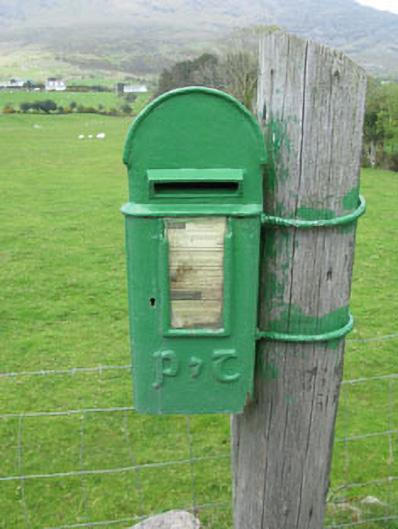 post boxpost box · 442 yd
 Settlement cluster in Park (bear By.)Settlement cluster · 732 yd
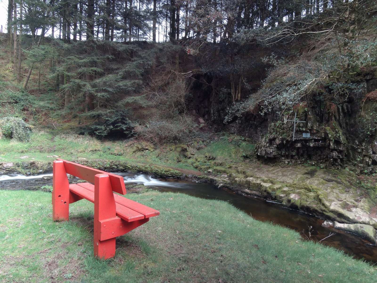 Mass-rock in ArdaganniveMass-rock · 1108 yd
 Holly HillMountain / peak · 1.3 mi
 Hungry HillMountain / peak · 1.4 mi
 Mass-house in ShanacoumhaMass-house · 1.6 mi
 TrawnablahaBeach / strand · 1.6 mi
 Turk IslandIslet · 2.1 mi
 Rerrin LoopWalking route · 2.1 mi
 Mare's Tail WaterfallViewpoint · 2.1 mi
 Loughure IslandIslet · 2.3 mi
 West Cork Sailing & Powerboating CentreHeritage attraction · 3.9 mi