What is recorded here
Gallauns holds two tall stones on a bogged shoulder above the Maughanaclea Hills, aligned NE-SW and spaced only 1.6m apart. The SW stone broke at ground level and would have reached 5.3m, while the NE stone still stands 2.65m high. They belong with a five-stone circle and radial cairn, suggesting a place where people marked horizon, ceremony or memory before the bog swallowed the lower ground.
On level bog-covered shoulder, on NW-facing slope of W end Maughanaclea Hills. Part of complex including five-stone circle (CO106-00601-) and a radial-stone cairn (CO106-00603-). Excavated in 1938 (Ó Ríordáin 1939, 46-49). Stones, aligned NE-SW, stand 1.6m apart. SW stone is 1.5m L and 0.4m T; it had been broken at ground level and would have stood 5.3m H. Excavator removed stump and erected fallen piece in socket. NE stone is 1.85m L, 0.5m T and 2.65m H. (Ó Nualláin 1988, 246, no. 119)
The above description is derived from the published 'Archaeological Inventory of County Cork. Volume 1: West Cork' (Dublin: Stationery Office, 1992). In certain instances the entries have been revised and updated in the light of recent research.
Date of upload/revision: 14 January 2009
This monument is subject to a preservation order made under the National Monuments Acts 1930 to 2014 (PO no. 69/1938).
Probably dating to the Late Neolithic or Early Bronze Age, the Gallauns, Kealkill complex likely had ritual or ceremonial significance, possibly linked to astronomical observations or seasonal markers. Local folklore may associate the stones with legendary figures or supernatural events, though specific traditions are not well documented.
The monument record does not grant public access. Check the route and ask the landowner before entering private land.
- What survives
- Recorded monument
Places near here
 Kealkill stone circleVisitor information · 72 yd
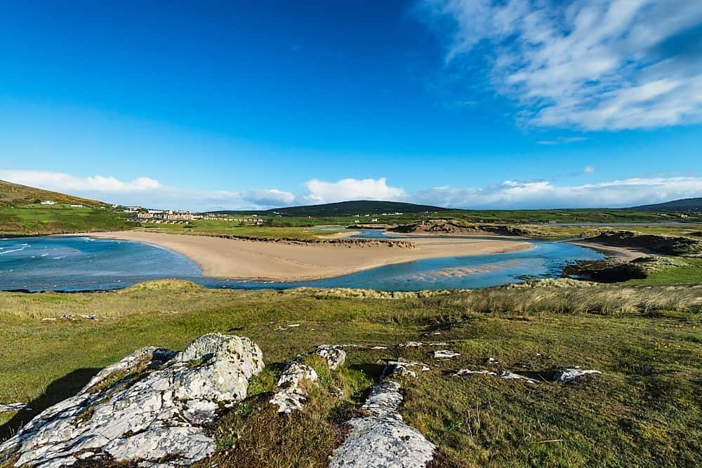 GallaunsBoulder-burial · 498 yd
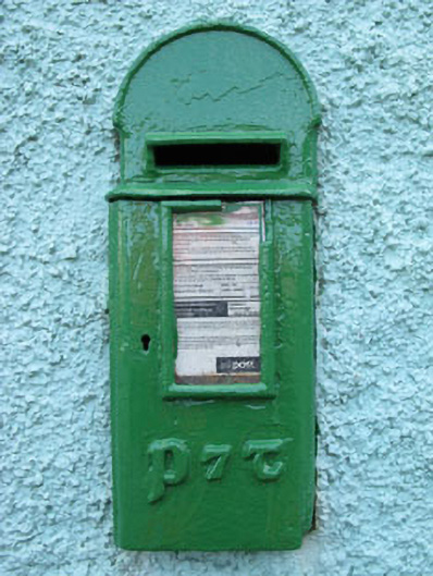 post boxpost box · 895 yd
 Carriganass Bridgebridge · 1233 yd
 Carriganass CastleCastle · 1250 yd
 Fulacht fia in Carriganass (bantry By.)Fulacht fia · 1416 yd
 Bulls PocketMountain / peak · 1.5 mi
 KnockbreteenMountain / peak · 1.7 mi
 St Finbarr's Pilgrim RouteWalking route · 2.2 mi
 Daly's LoopWalking route · 3.3 mi
 Castle (in Ruins)House, fortified house · 3.6 mi
 Snave StrandBeach / strand · 3.6 mi