What is recorded here
This four-stone row is located on a level terrace on the S side of the Coomnahorna river, and commands an extensive view along the valley to Darrynane Bay at W. A small enclosure occurs adjacent to it, and a pair of standing stones (KE106-023001-) is located less than 300m to SW. Set in pasture dominated by rock outcrop, the row has a general NE-SW orientation and measures 10.44m in overall length. Two of the stones lie prostrate. One of these, at NE, measures 1.4m x .6m x .25m; the pit in which it stood until recently is located 1m NE of the second stone. The latter stands 1.4m high, and measures 1.05m x .5m at base. The second prostrate stone lies 1.9m further to SW, and measures 3.7m x .8m x .5m. The tallest stone, 3.2m to SW, stands 3.38m high and inclines towards E; at base it measures 1m x .6m (Ó Nualláin 1988, 239).
A roughly circular enclosure occurs 3m SE of the stone row. This appears as a bank, internally stone-faced, which averages 1.25m wide and 1m high. It encloses an area measuring 4.28m N-S x 4.62m E-W.
The above description is derived from A. O'Sullivan and J. Sheehan (compilers), 'The Iveragh peninsula: an archaeological survey of South Kerry'. Cork University Press (1996), no. 111. In certain instances the entries have been revised and updated in the light of recent research.
Date of upload: 28 July 2013
This four-stone row at Gallauns – Garrough is likely to date to the Late Neolithic or Early Bronze Age, based on the form and context of such monuments in Atlantic Scotland. Its alignment and position may have had ceremonial or ritual significance, possibly linked to landscape features or seasonal markers, though specific folklore or use remains unrecorded.
The monument record does not grant public access. Check the route and ask the landowner before entering private land.
- What survives
- Recorded monument
Places near here
 IndicatedFairy fort / stone ringfort · 175 yd
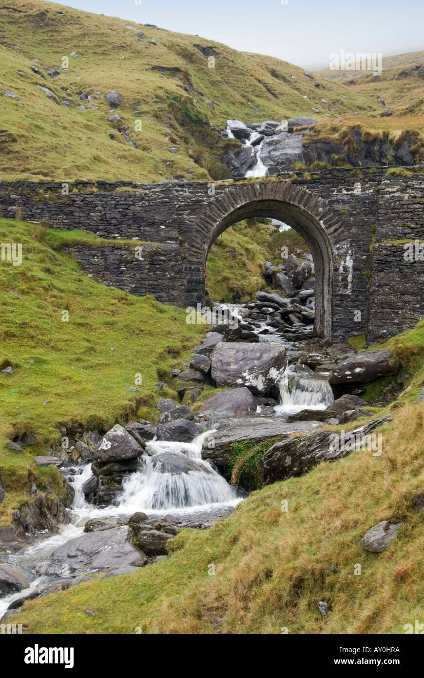 Indicated (1846).Fairy fort / stone ringfort · 226 yd
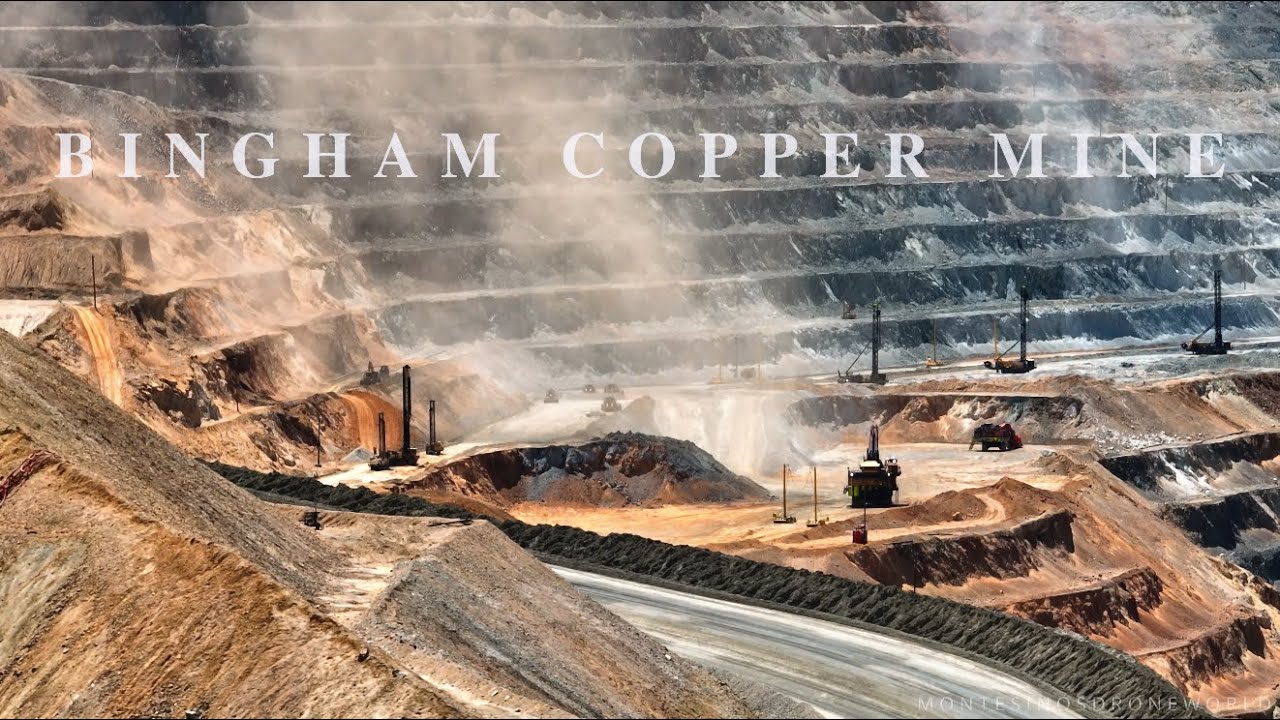 MineMine, copper · 994 yd
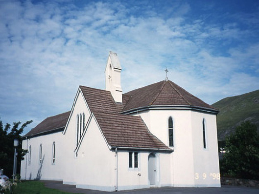 Saint Crohan's Catholic Churchchurch/chapel · 1.0 mi
 Cahernageeha MountainMountain / peak · 1.2 mi
 Trá an Ghleanna Bhig / Glanbeg BeachBeach / strand · 1.6 mi
 Mullach BogMountain / peak · 1.7 mi
 Ogham StoneVisitor information · 1.9 mi
 Reen BeachBeach / strand · 2.0 mi
 Castle Cove (in Ruins)Castle, tower house · 2.2 mi
 Derrynane House / Teach Dhoire FhionáinHeritage attraction · 2.2 mi
 Páirc Náisiúnta Stairiúil Dhoire Fhíonáin / Derrynane National Historic ParkNature reserve · 2.3 mi