What is recorded here
Mortons and Fairies both claimed the same stones, but neither explanation fits the shape. A nineteen metre ring on a Kerry ridge is a human fortress, built to exclude, not to invite. The chamber is gone, the roof is gone, the door is gone. What remains is the boundary itself, drawn in stone across land that later peoples wanted to make mysterious.
Internal diam. 19.6m N-S, 19m E-W
This ruined caher is located on top of a rise a short distance W of the Coomnahorna river, and overlooks Darrynane Bay to SW. The enclosing wall is largely overgrown with thicket, but where visible at S it consists of a core of small stones faced internally and externally with larger rounded slabs. Here, it measures .65m high externally, .4m high internally and is 2.6m wide. The entrance at SE is defined by two upright slabs, set .9m apart and averaging .9m high x .8m wide. A large prostrate slab lies directly E of the entrance. Two field walls traverse the interior of the site.
The above description is derived from A. O'Sullivan and J. Sheehan (compilers), 'The Iveragh peninsula: an archaeological survey of South Kerry'. Cork University Press (1996), no. 563. In certain instances the entries have been revised and updated in the light of recent research.
Date of upload: 29 July 2013
The monument record does not grant public access. Check the route and ask the landowner before entering private land.
- What survives
- Recorded monument
Places near here
 CaherereganaghFairy fort / stone ringfort · 91 yd
 CaherdanielFairy fort / stone ringfort · 356 yd
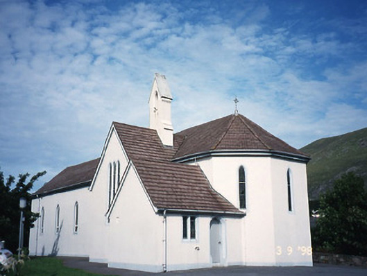 Saint Crohan's Catholic Churchchurch/chapel · 472 yd
 Ogham StoneVisitor information · 1253 yd
 Trá An Ráth / Rath BeachBeach / strand · 1750 yd
 Teach Dhoire Fhíonáin [Derrynane House]country house · 1.1 mi
 Derrynane House / Teach Dhoire FhionáinHeritage attraction · 1.1 mi
 Páirc Náisiúnta Stairiúil Dhoire Fhíonáin / Derrynane National Historic ParkNature reserve · 1.2 mi
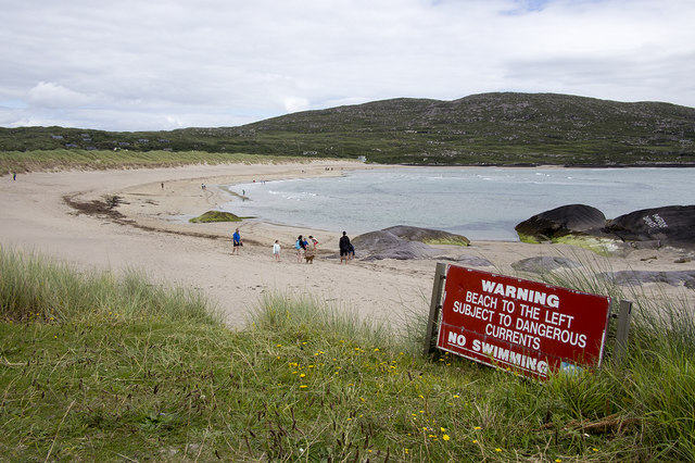 Derrynane Beach / Trá Doire FhíonáinBeach / strand · 1.2 mi
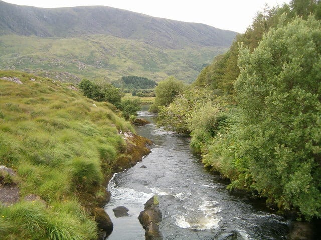 Eagle HillMountain / peak · 1.2 mi
 Cahernageeha MountainMountain / peak · 1.3 mi
 Abbey IslandIslet · 1.9 mi