What is recorded here
Mortars and maps erased the Com Na Heorna Thiar fort, but grass and memory kept its outline alive. People called it a fairy fort because the hidden passage beneath the rock defied ordinary sense. That chamber may have stored grain, hidden people or simply confused the claim of any master. The field still holds the shape of a house built to resist forgetting.
This site, known locally as a 'liss', is not marked on the OS maps. It is located in pasture W of the Coomnahorna river, and survives as a roughly oval-shaped platform, 21.8m NW-SE x 19.5m NE-SW, which is covered in a layer of dense vegetation. A field wall abuts the site at NW, a track skirts its SE sector and field clearance debris has been deposited in its SW quadrant, distorting the outline of the site. A section of rock outcrop protrudes in its interior, where a Man-made underground passage (KE106-120001-) is reputedly located (local information).
The above description is derived from A. O'Sullivan and J. Sheehan (compilers), 'The Iveragh peninsula: an archaeological survey of South Kerry'. Cork University Press (1996), no. 661. In certain instances the entries have been revised and updated in the light of recent research.
Date of upload: 29 July 2013
The monument record does not grant public access. Check the route and ask the landowner before entering private land.
- What survives
- Recorded monument
Places near here
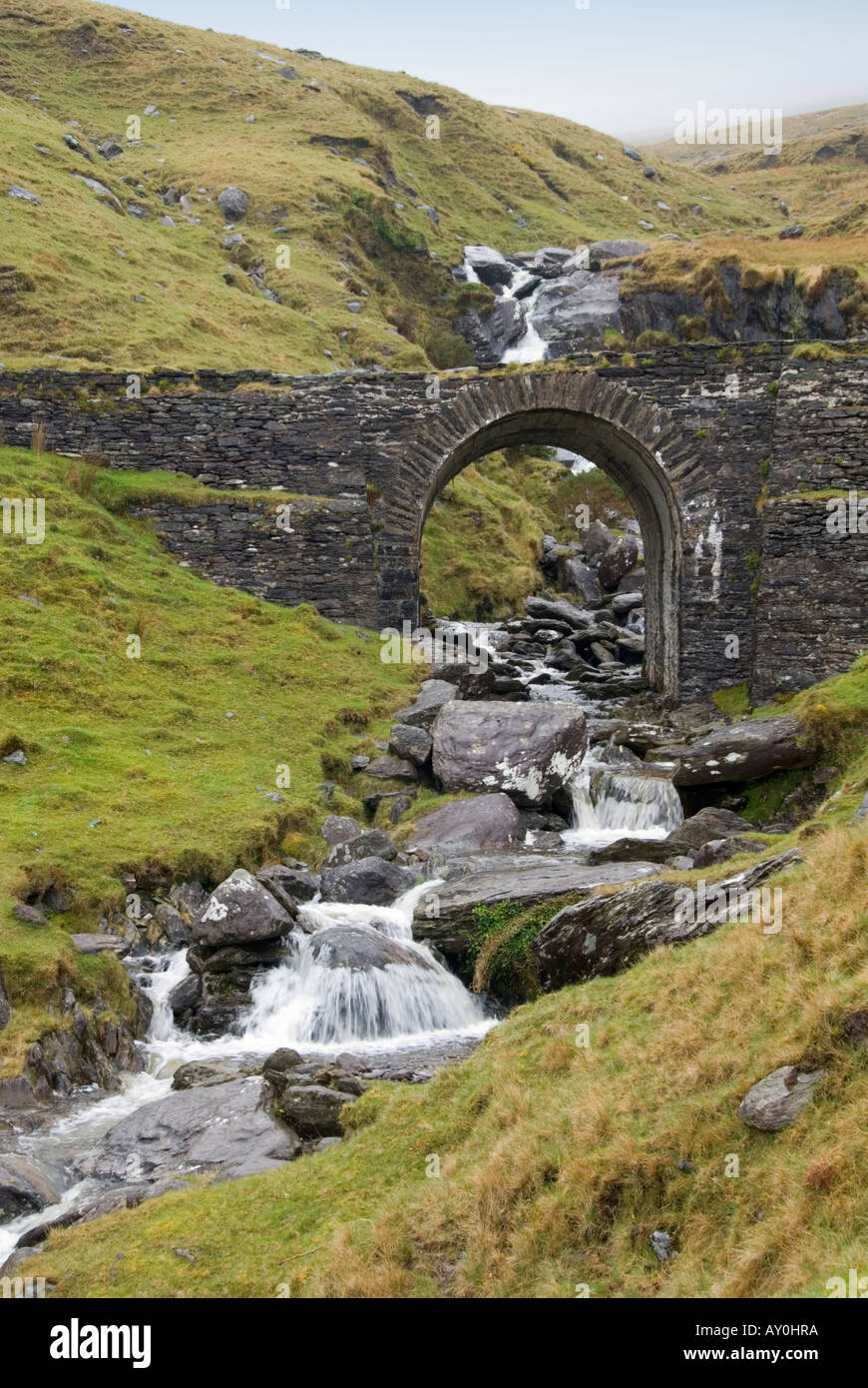 Indicated (1846).Fairy fort / stone ringfort · 650 yd
 IndicatedFairy fort / stone ringfort · 718 yd
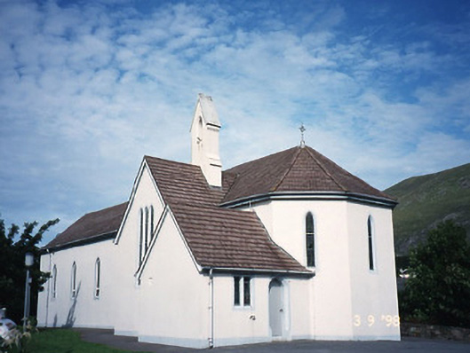 Saint Crohan's Catholic Churchchurch/chapel · 1268 yd
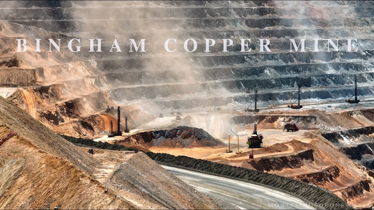 MineMine, copper · 1313 yd
 Cahernageeha MountainMountain / peak · 1.1 mi
 Trá an Ghleanna Bhig / Glanbeg BeachBeach / strand · 1.4 mi
 Ogham StoneVisitor information · 1.6 mi
 Trá An Ráth / Rath BeachBeach / strand · 1.7 mi
 Derrynane House / Teach Dhoire FhionáinHeritage attraction · 1.9 mi
 Mullach BogMountain / peak · 2.0 mi
 Páirc Náisiúnta Stairiúil Dhoire Fhíonáin / Derrynane National Historic ParkNature reserve · 2.0 mi
 Castle Cove (in Ruins)Castle, tower house · 2.4 mi