What is recorded here
On small patch of pasture, on rocky ridge, in broad shallow valley of Bandon river. Row of four stones, aligned NE-SW, and 5.5m in overall length. NE stone is 0.85m L, 0.3m T and 1.2m H. Next stone, 0.4m to SW, is 0.75m L, 0.4m T and 1m H. Third stone, 0.5m further to SW, is 0.75m L, 0.2m T and 1.75m H. SW and tallest stone, 1.15m from last, is 1.1m L, 0.4m T and 2.1m H. (Ó Nualláin, 1988, 236, no. 41)
The above description is derived from the published 'Archaeological Inventory of County Cork. Volume 1: West Cork' (Dublin: Stationery Office, 1992). In certain instances the entries have been revised and updated in the light of recent research.
Date of upload/revision: 14 January 2009
This monument is subject to a preservation order made under the National Monuments Acts 1930 to 2014 (PO no. 12/1971).
Likely dating to the Neolithic or Bronze Age, the row of stones at Gallauns, Dromdrasdil may have functioned as a ritual or ceremonial alignment, possibly linked to astronomical observations or territorial markers. No specific folklore is recorded, but such stone rows are often associated with ancient funerary or ceremonial practices in west Cork.
The monument record does not grant public access. Check the route and ask the landowner before entering private land.
- What survives
- Recorded monument
Places near here
 Burial mound in DromdrasdilBurial mound · 308 yd
 Fulacht fia in Farnanes (carbery E. (w.d) By.)Fulacht fia · 1016 yd
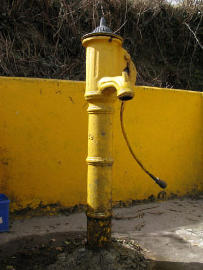 water pumpwater pump · 1749 yd
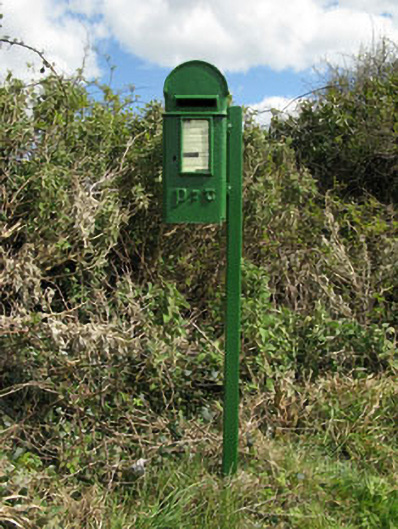 post boxpost box · 1.0 mi
 Togher CastleCastle, tower house · 1.7 mi
 Pookeen North TopMountain / peak · 2.5 mi
 Nowen HillMountain / peak · 2.7 mi
 Funmanway Adventure LandHeritage attraction · 3.6 mi
 Castle (Site of)Castle, Anglo-Norman masonry castle · 4.0 mi
 Gortnahoughtee Mass RockNamed rock · 4.0 mi
 Dunmanway Heritage CentreVisitor information · 4.1 mi
 Graveyard in Dunmanway NorthGraveyard · 4.3 mi