What is recorded here
Gallauns is a squat, hunched standing stone in rough boggy pasture on the Iveragh Peninsula, one of two stones marked on early maps that may have formed a deliberate pair. It still stands 1.54 metres high beside the Kealafreaghane river, broad and low rather than proud, while the second has vanished without explanation. The Iveragh Peninsula carries many such quietly persistent stones from the Bronze Age, and this one remains as a waypoint, marker or memory in difficult terrain.
On S foothills of Slieve Miskish Mountains. Two stones shown on 2nd ed. OS 6-inch map (1901). No visible surface trace. According to local information, c. 5 stones were removed c. 1970.
The above description is derived from the published 'Archaeological Inventory of County Cork. Volume 1: West Cork' (Dublin: Stationery Office, 1992). In certain instances the entries have been revised and updated in the light of recent research.
Date of upload/revision: 14 January 2009
The monument record does not grant public access. Check the route and ask the landowner before entering private land.
- What survives
- Recorded monument
Places near here
 CairnCairn, unclassified · 639 yd
 Hut site in Rossmackowen CommonsHut site · 754 yd
 Holly HillMountain / peak · 1323 yd
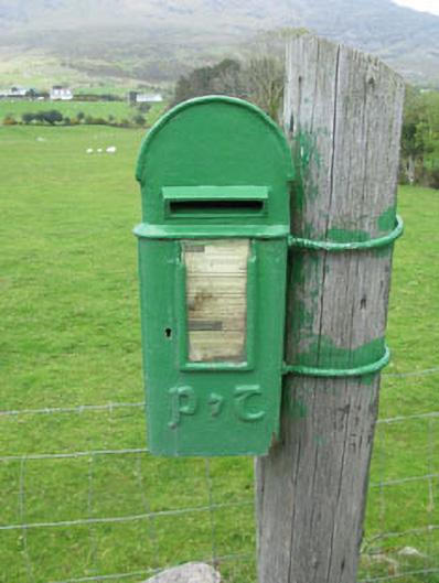 post boxpost box · 1.0 mi
 Mass-house in ShanacoumhaMass-house · 1.2 mi
 TrawnablahaBeach / strand · 1.4 mi
 Hungry HillMountain / peak · 1.5 mi
 Turk IslandIslet · 2.4 mi
 Mare's Tail WaterfallViewpoint · 2.4 mi
 Rerrin LoopWalking route · 2.6 mi
 Loughure IslandIslet · 3.0 mi
 Beara WayWalking route · 3.2 mi