What is recorded here
On level patch of ground, below rocky knoll at NE end of Clear Island. Two upright stones, aligned N-S, and one prostrate slab. N stone is 1.2m L, 0.4m T and 2.3m H, and is pierced by hole. S stone, 0.85m from last, is 1.15m L, 0.3m T and 2.65m H. Prostrate slab, concealed by field debris, lies 1.35m to the S and is 3.4m in maximum dimension. (O Nualláin 1988, 237. no. 56; Roberts 1988, Ch. 3, no. 5).
The above description is derived from the published 'Archaeological Inventory of County Cork. Volume 1: West Cork' (Dublin: Stationery Office, 1992). In certain instances the entries have been revised and updated in the light of recent research.
Date of upload/revision: 14 January 2009
Likely dating to the Bronze Age, the standing stones at Gallauns, Comalán may have functioned as a ritual or astronomical marker, with the pierced stone possibly indicating a solar or lunar alignment. Local folklore sometimes associates such sites with ancient druidic practices or as boundaries between the physical and spiritual worlds.
The monument record does not grant public access. Check the route and ask the landowner before entering private land.
- What survives
- Recorded monument
Places near here
 farm housefarm house · 117 yd
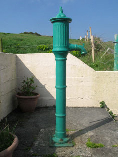 water pumpwater pump · 279 yd
 Boulder-burial in Gort Na Lobhar (cléire)Boulder-burial · 615 yd
 Field boundary in Comalán (cléire)Field boundary · 649 yd
 Oileán ÉinneIslet · 869 yd
 Cape Clear MuseumMuseum · 1461 yd
 CléireIsland · 1.3 mi
 An Gleann LoopWalking route · 1.5 mi
 Trá CiaráinBeach / strand · 1.6 mi
 Oifig Fáilte Siopa CeirdVisitor information · 1.6 mi
 Wild Atlantic Way: CléireVisitor information · 1.6 mi
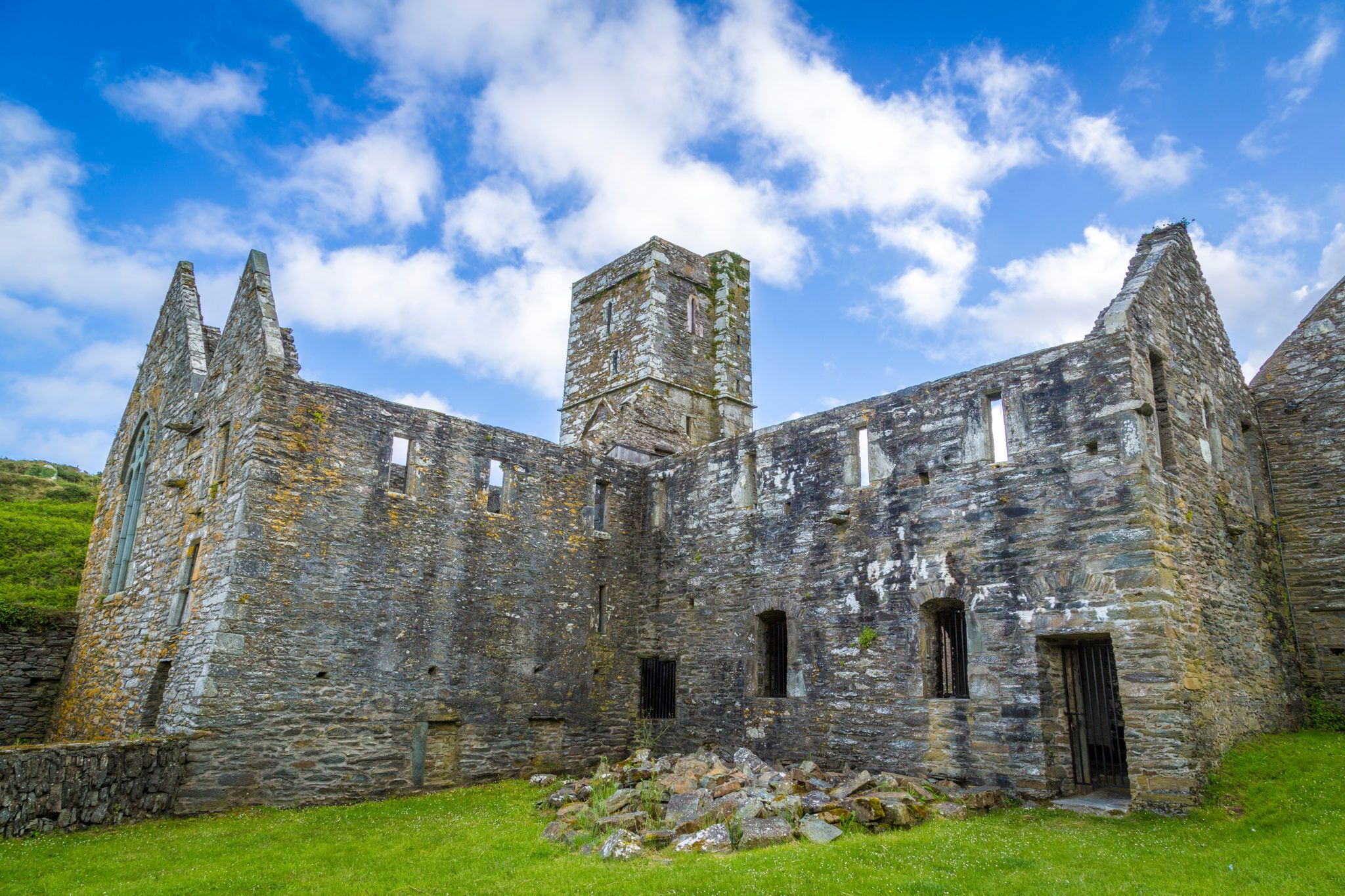 Sherkin PointHeadland · 1.7 mi