What is recorded here
Gallauns held three stones of six, five and four feet in County Cork before human hands erased them from the sky. The oldest survey named the place Dallauns while the later one used Gallauns, marking how memory itself shifts shape when witness departs. The stones may have fallen into a field fence or vanished entirely, leaving behind only the shadow of their height. What is gone can still be seen when imagination learns the shape of what the earth forgot.
Shown on 1842 OS 6-inch map as group of 3 stones and named 'Dallauns'. Shown on 1904 OS 6-inch map as pair of stones, named 'Gallauns'. Removed; no visible surface trace. OS Name Books recorded 'three stones 6, 5 and 4 feet respectively' (Hartnett 1939, 93). Hartnett (ibid.) suggests that stones were either removed or incorporated into later field fence. Possibly 'Group B' of 'Carriganish Group of Gallans' recorded by Conlon (1917, 153, no. 170).
The above description is derived from the published 'Archaeological Inventory of County Cork. Volume 3: Mid Cork' (Dublin: Stationery Office, 1997). In certain instances the entries have been revised and updated in the light of recent research.
Date of upload/revision: 14 January 2009
Likely dating to the Late Bronze or Early Iron Age, the Gallauns stones were part of a small standing stone setting, possibly associated with ritual or territorial markers. Their removal and lack of surviving carvings or folklore leave their specific meaning or use largely unrecorded.
The monument record does not grant public access. Check the route and ask the landowner before entering private land.
- What survives
- Recorded monument
Places near here
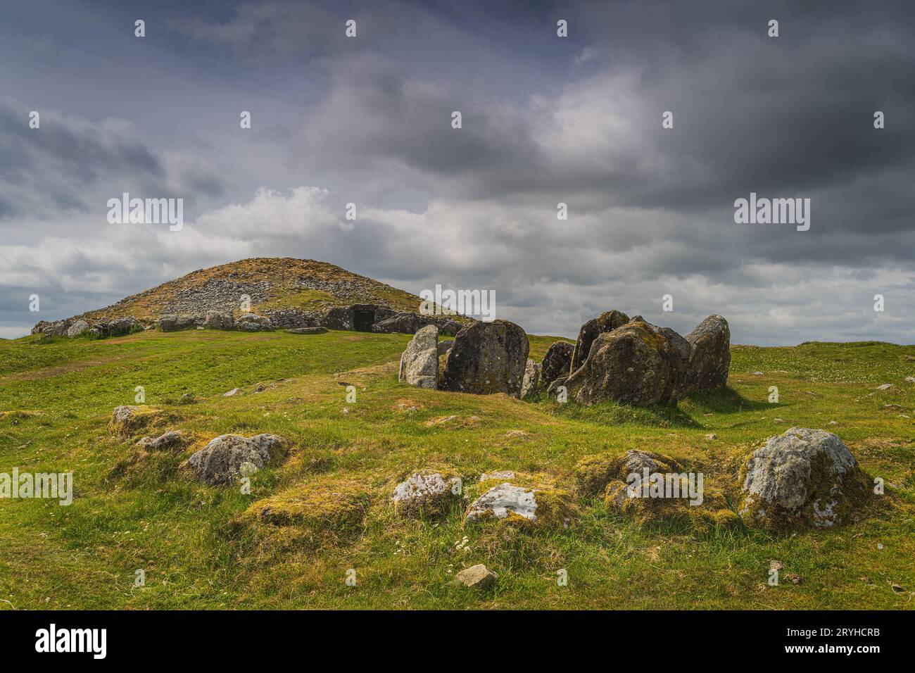 Boulder-burial in CarriganishBoulder-burial · 486 yd
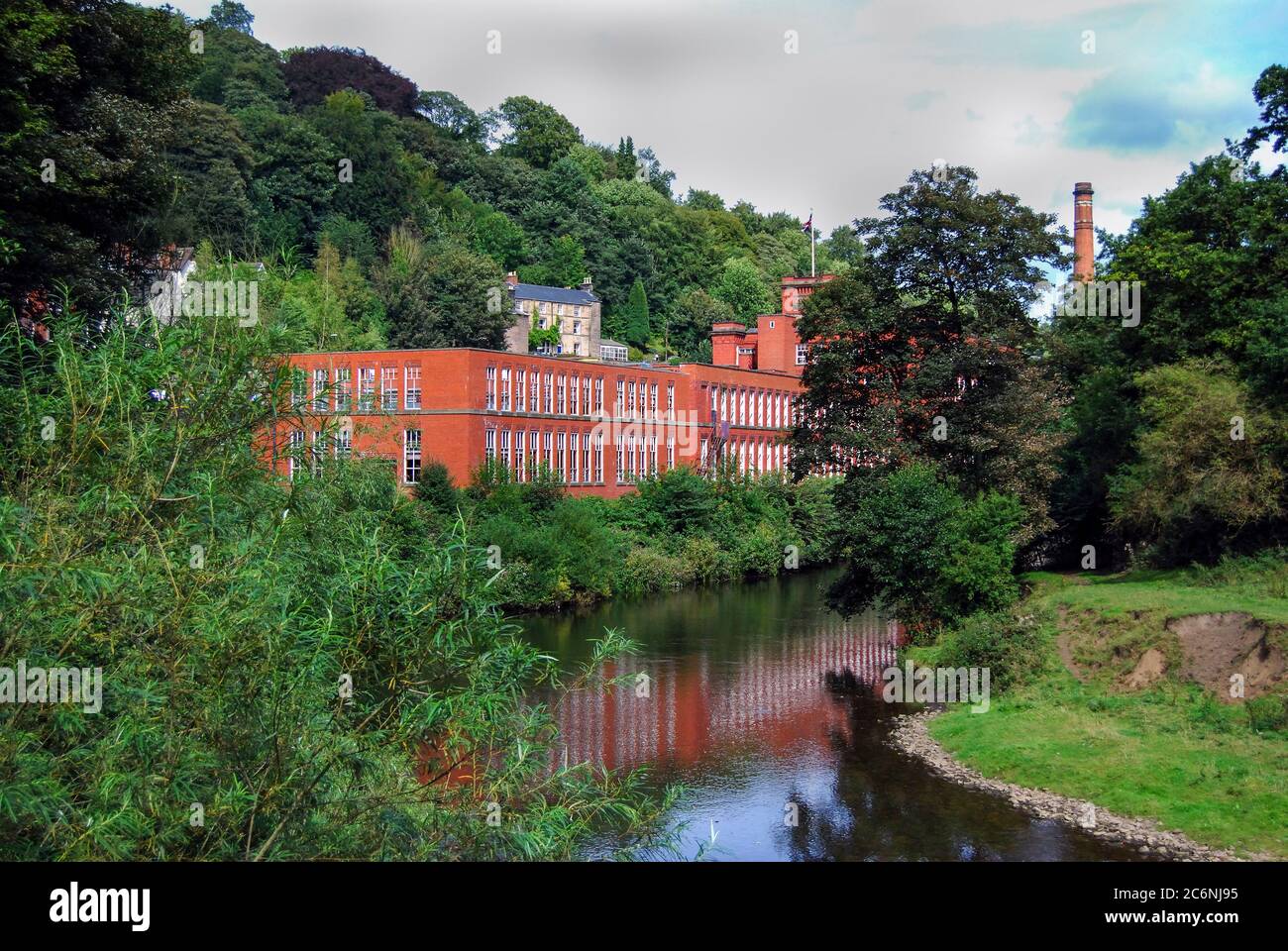 Site of MillMill, unclassified · 1562 yd
 BurrenMountain / peak · 1.3 mi
 Water millWater mill, horizontal-wheeled · 1.3 mi
 IndicatedKiln, lime · 1.6 mi
 Black WoodWood · 2.3 mi
 Mullinhassig WaterfallWaterfall · 2.9 mi
 Mullinhassig WoodWood · 3.0 mi
 Clonavrick CliffCliff · 3.1 mi
 Knockduff Wind FarmVisitor information · 3.7 mi
 Knockcraugh HillMountain / peak · 4.0 mi
 Carrigadrohid Castle InfoVisitor information · 4.3 mi