What is recorded here
Dooneens holds a lost ringfort where a laneway cut through its eastern edge. The earth still rises slightly in the pasture, marking the approximate ninety-foot circle drawn on the 1842 map. Whatever lived inside that shallow rampart has been levelled into the field, leaving only a changed line in the grass and a gap where the road took its share.
In pasture. Levelled; depicted as hachured circular enclosure on 1842 OS 6-inch map and truncated on E side by laneway. 'Rampart, indicated by a rising of the field level' was recorded by Hartnett (1939, 55), giving a diameter of 'approximately 90 feet'.
The above description is derived from the published 'Archaeological Inventory of County Cork. Volume 3: Mid Cork' (Dublin: Stationery Office, 1997). In certain instances the entries have been revised and updated in the light of recent research.
Date of upload/revision: 14 January 2009
The monument record does not grant public access. Check the route and ask the landowner before entering private land.
- What survives
- Recorded monument
Places near here
 Childrens Burial GdBurial ground · 547 yd
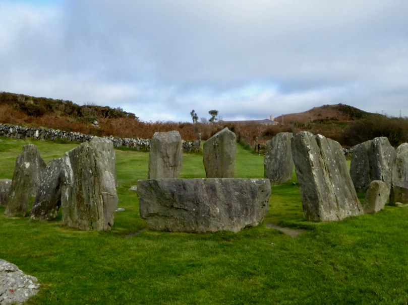 Stone CircleCairn, radial-stone cairn · 822 yd
 Carrigagulla HouseCountry house · 1294 yd
 KilnKiln, lime · 1.1 mi
 BurrenMountain / peak · 1.5 mi
 Clonavrick CliffCliff · 2.7 mi
 Knockduff Wind FarmVisitor information · 3.0 mi
 Knockcraugh HillMountain / peak · 3.1 mi
 Black WoodWood · 3.5 mi
 Paddy Mulcahey 2009Memorial · 4.1 mi
 Standing Stone ? At J WellMemorial · 4.4 mi
 Mullinhassig WaterfallWaterfall · 4.7 mi