What is recorded here
Four massive boulders rest on hidden stone levers inside a larger circle, waiting for hands that disappeared centuries ago. They sit close together on a narrow pasture ledge above the Owvane River, angled slightly toward the far axial stone rather than the entrance. The dead were placed beneath them, not forgotten, while the living walked past the circle and left the weight of memory buried with them.
In pasture, on a platform on a NW-facing slope on the S side of the Owvane River valley. Within a multiple-stone circle (CO106-00501-) is a regular group of four boulder-burials, set close together, two on each side of the main axis of the circle, and slightly closer to the axial stone than to the entrance of the circle (Ó Nualláin 1978, 88, see plan in ibid., 111). Three support stones (L 0.3m to 0.55m; H 0.15m) are visible beneath the N boulder-burial cover-stone, (L 1.5m; Wth 1.35m; T 0.5m). Two support stones (L 0.4m; H 0.15 and 0.20m) are visible beneath at each end of the S cover-stone (L 1.7m; Wth 1.2m; T 0.9m), and two also (L 0.4m; H 0.15 and 0.20m) are visible beneath the W boulder-burial cover stone (L 1.80m; Wth 1m; T 0.8m), at its southern end. No support stones are visible beneath the E boulder (L 1.3m; Wth; 0.8m; T 0.7m). (Ibid., no. 13).
This is a National Monument in State Ownership (no. 450).
The above description is derived from the published 'Archaeological Inventory of County Cork. Volume 1: West Cork' (Dublin: Stationery Office, 1992). In certain instances the entries have been revised and updated in the light of recent research.
Date of upload/revision: 14 January 2009
Portal dolmen; likely dates to the Neolithic period. The site represents a rare surviving example of a multiple-burial megalithic monument, reflecting early communal burial practices in the region.
The monument record does not grant public access. Check the route and ask the landowner before entering private land.
- What survives
- Recorded monument
Places near here
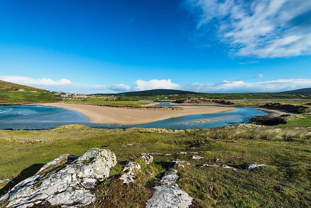 GallaunsBoulder-burial · 1 yd
 Kealkill stone circleVisitor information · 426 yd
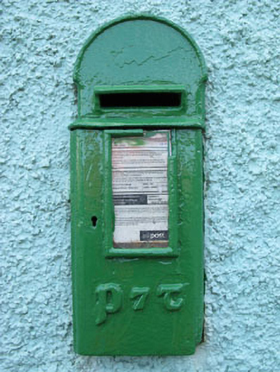 post boxpost box · 999 yd
 Carriganass Bridgebridge · 1469 yd
 Carriganass CastleCastle · 1478 yd
 Fulacht fia in Carriganass (bantry By.)Fulacht fia · 1.0 mi
 Bulls PocketMountain / peak · 1.6 mi
 KnockbreteenMountain / peak · 1.9 mi
 St Finbarr's Pilgrim RouteWalking route · 2.4 mi
 Daly's LoopWalking route · 3.1 mi
 Castle (in Ruins)House, fortified house · 3.3 mi
 Snave StrandBeach / strand · 3.4 mi