
What is recorded here
From the National Monuments Service (Archaeological Survey of Ireland) record CO120-002
Places near here
Photo credits
- Picture: Heritage Ireland / Office of Public Works
- Neville Goodman, Geograph · CC BY-SA 2.0
- Maker not stated on source page, commons.wikimedia.org
- Maker not stated on source page, www.alamy.com
- Maker not stated on source page, www.pinterest.com
- Maker not stated on source page, thejournalofantiquities.com
- Ernest Riordan, Geograph · CC BY-SA 2.0
- Maker not stated on source page, readymap.irish
- John M, Geograph · CC BY-SA 2.0
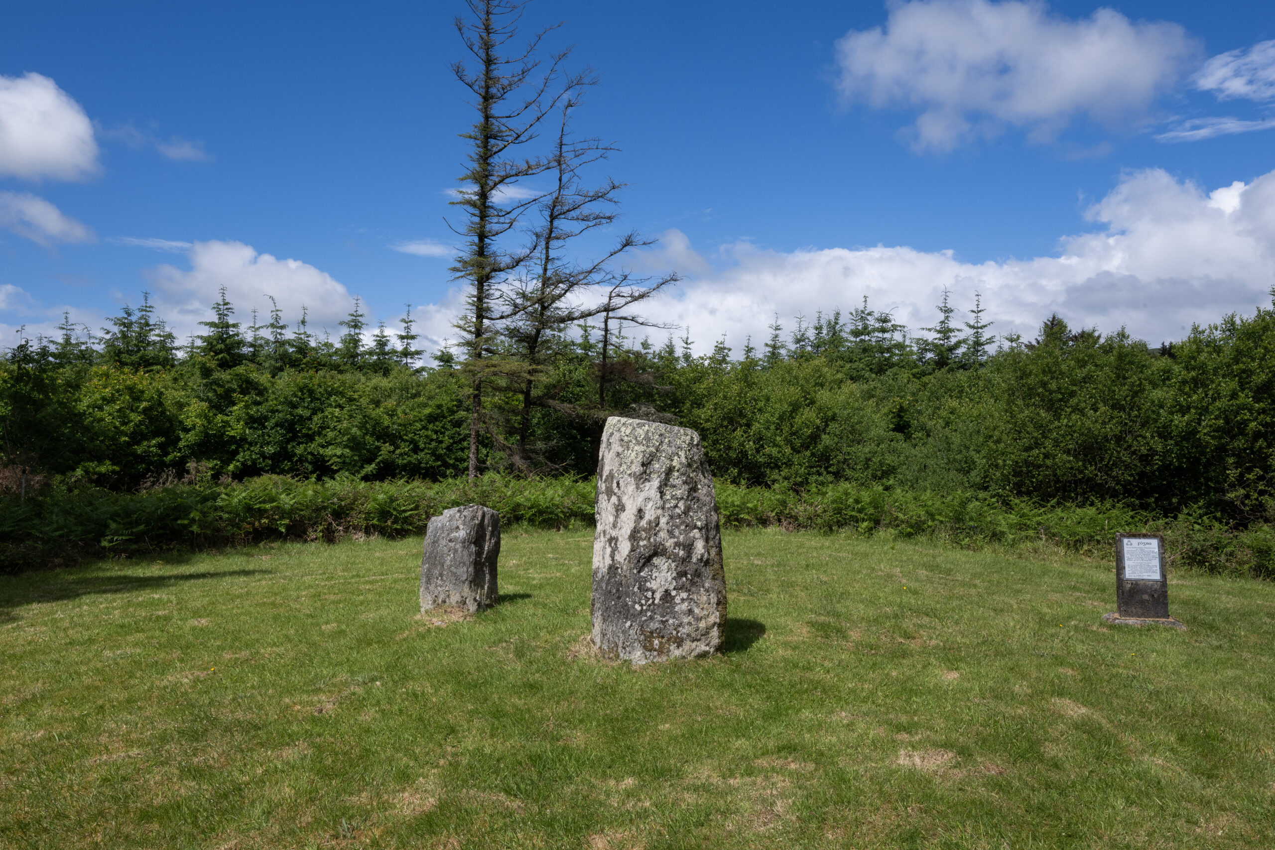 Clodagh Standing StonesArchaeological place · 590 yd
Explorer Tom Clodagh Standing Stones rise beside a County Cork road near Pookeen, one tall stone and one shorter companion refusing…
 Milane HillMountain / peak · 1532 yd
Explorer Tom Milane Hill is constantly being bad-mouthed by the seagulls who claim it’s overrated and too close to the trees. The…
 Wedge tomb in MilaneWedge tomb · 1755 yd
Explorer Tom Wedge tomb in Milane was built on a bargain where the stones agreed to sit still for a few thousand years without…
 Wedge tomb in Leitry UpperWedge tomb · 1.3 mi
Explorer Tom Wedge tomb in Leitry Upper is just a low wall of overlapping stones on Nowen Hill, getting shorter as it goes. Sounds…
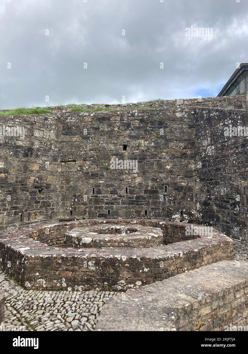 Fairy fort / earthen ringfort in CeanculligFairy fort / earthen ringfort · 1.4 mi
Explorer Tom Fairy fort in Ceancullig has a local who claims he invented it himself after eating too many mushrooms one summer…
 Fairy fort / earthen ringfort in Garranes (carbery E. (w.d) By.)Fairy fort / earthen ringfort · 2.2 mi
Explorer Tom Garranes By has a fort defined by a steep scarp that’s over two metres high on one side. The interior is raised to…
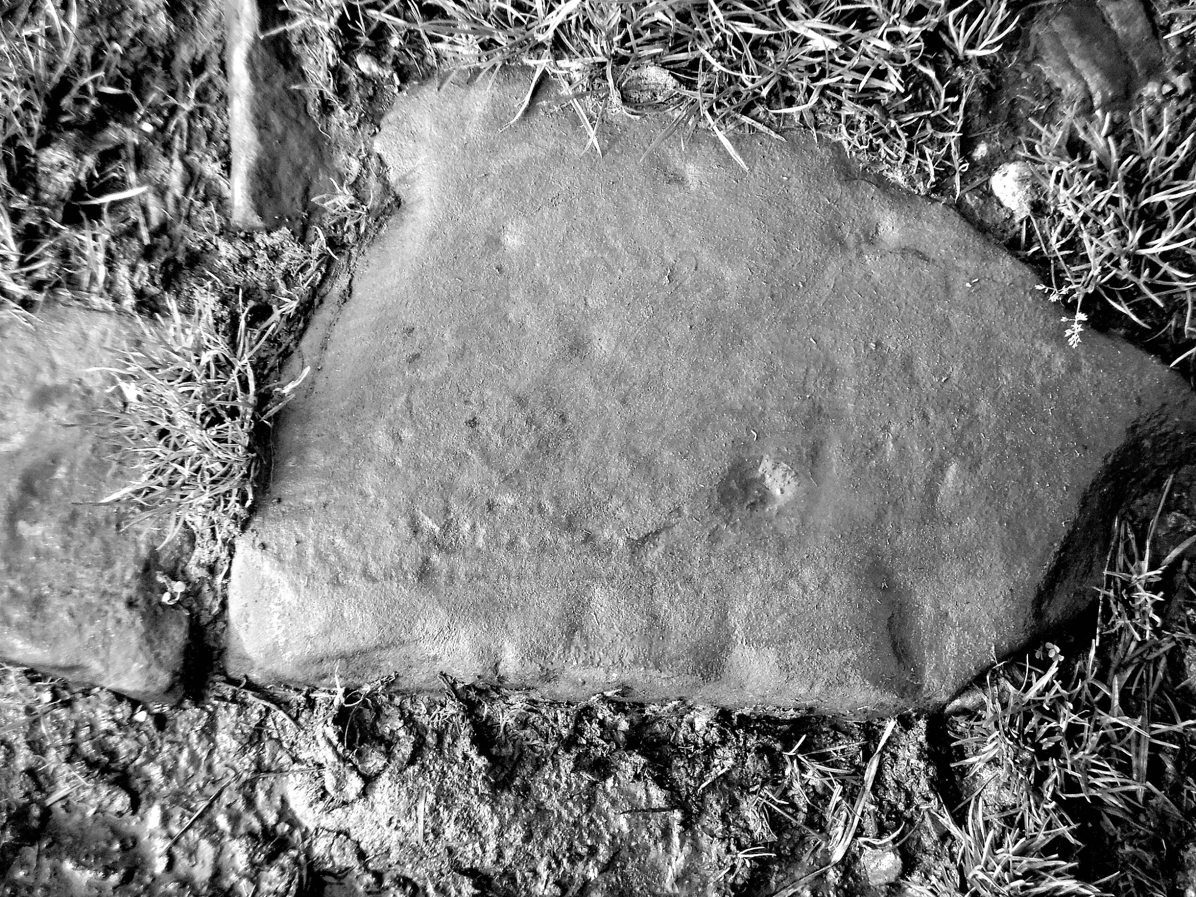 Cupmarked stone in Derryduff (carbery East (w.d.) By.)Cupmarked stone · 2.3 mi
Explorer Tom Cupmarked stone in Derryduff is being picked on by the wind because of its tiny dimples. It sits inside an enclosure…
 Nowen Hill sw TopMountain / peak · 2.3 mi
Explorer Tom Nowen Hill sw Top is having a bit of a tantrum about its name sounding like a sneeze. It claims to be teaching history…
 Church in DromdaleagueChurch · 2.6 mi
Explorer Tom The original Church in Dromdaleague was already ruins by 1615, so it has a long history of giving up. The current one…
 Church in DromduvaneChurch · 3.9 mi
Explorer Tom Church in Dromduvane had its stones removed around 1935 because apparently they were useful for building fences. No…
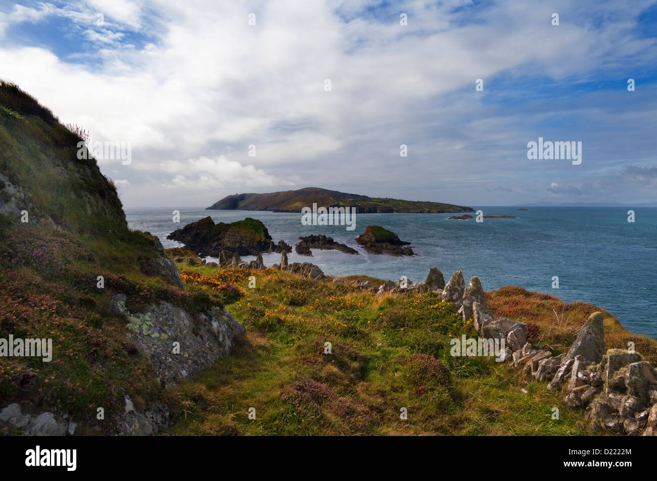 Sheelane IslandIslet · 16 mi
Explorer Tom Sheelane Island has an imaginary fan club that meets on Tuesdays but nobody shows up because they are shy rocks. Pack a…
 Garinish WestIslet · 16 mi
Explorer Tom Garinish West was once offered to a cow who wanted to buy it with a very shiny hoof, but the paperwork got lost in a…
More archaeology and monuments in County Cork · All of County Cork

What do you know about this place?Tap to add a comment or ask a question