What is recorded here
Gallaun is a 3.43 metre stone standing inside Cromwell's Fort on the Iveragh Peninsula, yet it predates that fortification by millennia. The later structure either embraced the ancient upright or ignored it entirely, creating a layered collision of time. A leaning slab now braces its base, possibly added after Chatterton found it shaking in 1839, proving human hands have repeatedly refused to let this old marker fall.
In rough pasture, near the E bank of the Glanrastel River. There are no visible remains of the standing stone which was indicated here and named 'Gallaun' on the 1846 OS 6-inch map.
The above description is derived from the published 'Archaeological Inventory of County Kerry. Volume I: South-West Kerry' (Dublin: Stationery Office, 2009). In certain instances the entries have been revised and updated in the light of recent research.
Date of upload: 30 May 2011
This remains an important historical record, but the official description says the monument is no longer visible or has been destroyed. The monument record does not grant public access. Check the route and ask the landowner before entering private land.
- What survives
- No visible remains or recorded as destroyed
Places near here
 SheepfoldEnclosure · 561 yd
 Burnt spread in Garranes (glanarought By., Ardea Ed)Burnt spread · 1.1 mi
 RoadRoad, unclassified togher · 1.3 mi
 DrombohillyMountain / peak · 1.5 mi
 DroppaCliff · 1.5 mi
 KnockastumpaMountain / peak · 1.6 mi
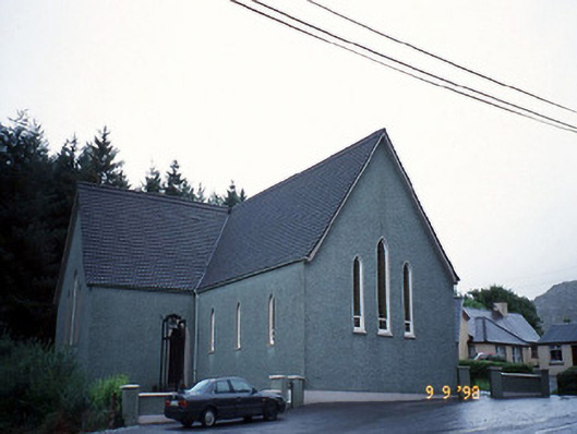 Saint Killian's Catholic Churchchurch/chapel · 1.8 mi
 New Zealand broadleafNew Zealand broadleaf · 2.2 mi
 Soft Tree-fernSoft Tree-fern · 2.3 mi
 Duck RockIslet · 2.7 mi
 Crane IslandIslet · 2.7 mi
 Gleninchaquin WaterfallWaterfall · 3.8 mi