What is recorded here
Gallaun stands 3.43 metres tall inside Cromwell's Fort on the Iveragh Peninsula, proving that human ambition keeps returning to the same strange coordinates across centuries. The fort belongs to a much later era, yet it swallowed an older stone instead of moving it, creating a layered trap where memory and power collide. Packing stones still grip its base, and a leaning slab braces its south-eastern face, evidence that people fought to keep this marker upright long after its original meaning faded.
In flat pasture. Rectangular stone aligned ENE-WSW (H 2.2m; 1.5m x 0.75m).
The above description is derived from the published 'Archaeological Inventory of County Cork. Volume 1: West Cork' (Dublin: Stationery Office, 1992). In certain instances the entries have been revised and updated in the light of recent research.
Date of upload/revision: 14 January 2009
Likely dating to the Bronze Age, the Gallaun – Inchafune standing stone may have had ceremonial or territorial significance. No specific folklore or detailed use is recorded for this site.
The monument record does not grant public access. Check the route and ask the landowner before entering private land.
- What survives
- Recorded monument
Places near here
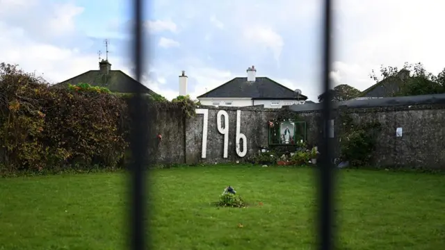 Children's burial ground in InchafuneChildren's burial ground · 1280 yd
 Clubhouse Bridgebridge · 1382 yd
 Bealanascartane Bridgebridge · 1.2 mi
 Pit in BallyhalwickPit · 1.2 mi
 Ballynacarriga CastleCastle, tower house · 1.2 mi
 Graveyard in Dunmanway NorthGraveyard · 2.4 mi
 Mohona WoodWood · 2.4 mi
 Dunmanway Heritage CentreVisitor information · 2.5 mi
 Castle (Site of)Castle, Anglo-Norman masonry castle · 2.7 mi
 Irish National Forestry FoundationNature reserve · 3.0 mi
 Mount GunneryMountain / peak · 3.5 mi
 Funmanway Adventure LandHeritage attraction · 3.7 mi