What is recorded here
On N foothills of Shehy Mountains with commanding view over Coomhola River valley. Rectangular stone aligned NNE-SSW (H 1.9m; 1m x 0.6m).
The above description is derived from the published 'Archaeological Inventory of County Cork. Volume 1: West Cork' (Dublin: Stationery Office, 1992). In certain instances the entries have been revised and updated in the light of recent research.
Date of upload/revision: 14 January 2009
Likely dating to the Bronze Age, the stone's alignment and prominent location suggest it may have had ritual or ceremonial significance, possibly marking a territorial boundary or serving as a visual landmark in the landscape. No specific folklore or recorded use has been associated with this site.
The monument record does not grant public access. Check the route and ask the landowner before entering private land.
- What survives
- Recorded monument
Places near here
 Rose Cottagehouse · 1088 yd
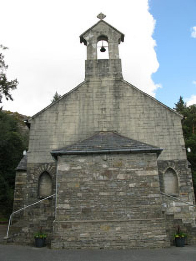 St. Joseph's Roman Catholic Churchchurch/chapel · 1115 yd
 Coomhola Salmon Trust (Streamscapes)Museum · 1124 yd
 Daly's LoopWalking route · 1291 yd
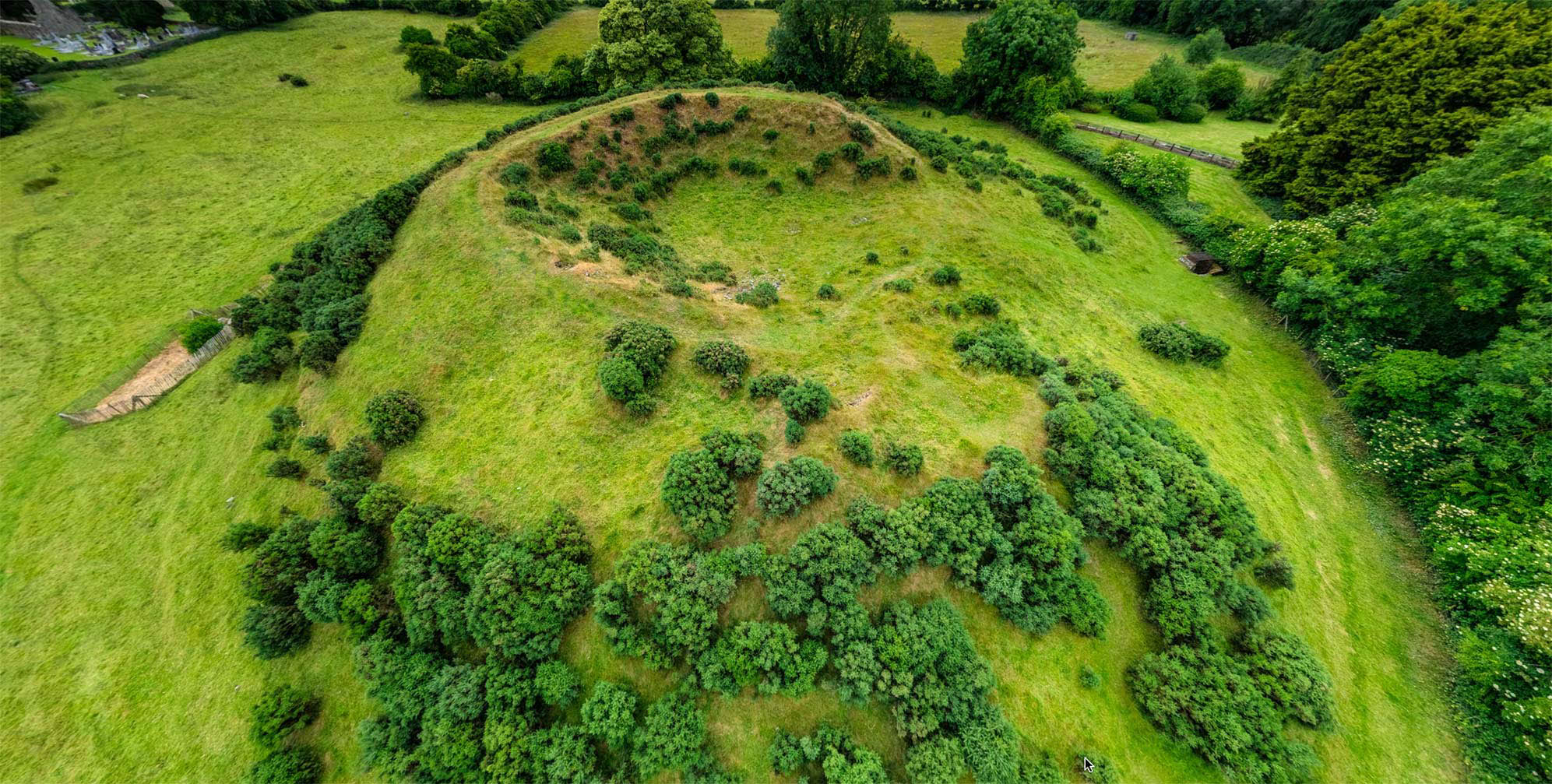 Burial ground in Dromduff EastBurial ground · 1420 yd
 Mass-rock in DerrynakillaMass-rock · 1443 yd
 Snave StrandBeach / strand · 1.4 mi
 Bulls PocketMountain / peak · 2.0 mi
 Coomhola MountainMountain / peak · 2.0 mi
 Castle (in Ruins)House, fortified house · 2.0 mi
 Snave BayBay · 2.2 mi
 Chilean myrtleChilean myrtle · 2.3 mi