What is recorded here
Located about 15m N of a small cashel (KE097-040----) on the E slopes of Bolus mountain, is a prostrate pillar stone. Of regular aspect, it measures 2.35m x .55m x .4m. A stone row (KE097-038----) is located 167m to N.
The above description is derived from A. O'Sullivan and J. Sheehan (compilers), 'The Iveragh peninsula: an archaeological survey of South Kerry'. Cork University Press (1996), no. 191. In certain instances the entries have been revised and updated in the light of recent research.
Date of upload: 28 July 2013
Likely dating to the Bronze Age, this prostrate pillar stone may have been part of a ritual or funerary landscape associated with the nearby cashel and stone row. Its orientation and positioning suggest a possible ceremonial or territorial function, though specific folklore or symbolic meaning is not recorded.
The monument record does not grant public access. Check the route and ask the landowner before entering private land.
- What survives
- Recorded monument
Places near here
 IndicatedFairy fort / stone ringfort · 27 yd
 Cuas na LéimeCave · 590 yd
 Calluragh Grave Yard, CaherChurch · 714 yd
 Cíl RialaighRuins · 728 yd
 Ceanna an AonaighNamed rock · 862 yd
 Cuas a' Daimh /Ox Cove.Bay · 1419 yd
 Poll na TóirníCave · 1465 yd
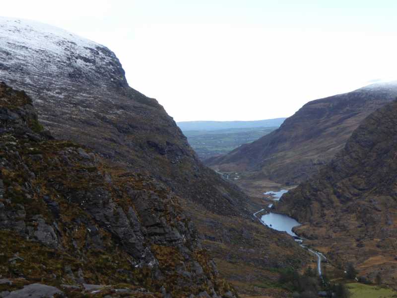 Cnoc Ceannúch (Canuig Mountain)Mountain / peak · 1525 yd
 Galláin/ Standing Stones.Archaeological place · 1589 yd
 Trá PhraisceBeach / strand · 1.0 mi
 Bogha SínMountain / peak · 1.5 mi
 Liberator "63939" monumentMemorial · 1.6 mi