
What is recorded here
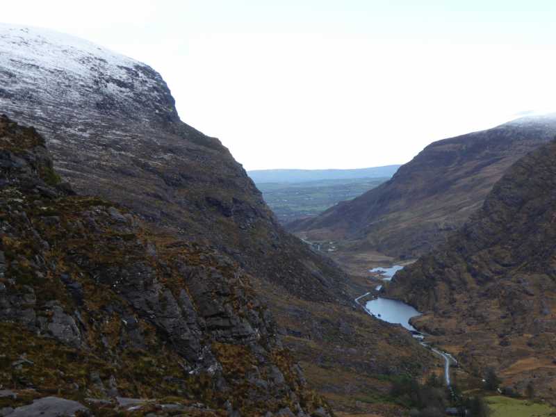
Indicated is a circular stone fort perched on a rocky outcrop above the pass between Bolus and Canuig mountains in County Kerry. Its south wall rises nearly five metres, hiding a lintelled doorway that opens into a narrow passage bending beneath the earth. The route is blocked now, but the stones still mark a hidden chamber where human hands shaped the mountain rather than merely climbing it.
Internal diam. 14.5m N-S, 14.8m E-W
This circular caher is located on an area of rock outcrop and commands the pass between Bolus and Canuig mountains. Its enclosing wall follows the natural incline of the outcrop, producing an impressive external height of 4.8m at S. The wall has an external height of 1m at N, while at NE it is reduced to only one course in height with much collapse abutting it externally. The wall is well-built of irregularly shaped stones set in rough courses.
A lintelled opening, 1.07m high by .87m wide, is located in the external face of the caher wall at S, 1.6m above the base of the outcrop. It leads into a lintelled stone-built passage which extends to NE for at least 2m before turning to NW, where Lynch noted that it rose to the interior of the site (1902b, 328-9). Access beyond the bend is no longer possible, and an opening to this Man-made underground passage could not be identified in the caher's interior.
Loose stones are scattered throughout the interior of the site, with a slight concentration occurring at W where three small upright slabs also occur. A prostrate standing stone (KE097-038----) occurs just outside the caher at NE.
The above description is derived from A. O'Sullivan and J. Sheehan (compilers), 'The Iveragh peninsula: an archaeological survey of South Kerry'. Cork University Press (1996), no. 597. In certain instances the entries have been revised and updated in the light of recent research.
Date of upload: 29 July 2013
The monument record does not grant public access. Check the route and ask the landowner before entering private land.
- What survives
- Recorded monument
Places near here
 Cuas na LéimeCave · 597 yd
 Calluragh Grave Yard, CaherChurch · 689 yd
 Cíl RialaighRuins · 703 yd
 Ceanna an AonaighNamed rock · 835 yd
 Cuas a' Daimh /Ox Cove.Bay · 1395 yd
 Poll na TóirníCave · 1474 yd
 Cnoc Ceannúch (Canuig Mountain)Mountain / peak · 1545 yd
 Galláin/ Standing Stones.Archaeological place · 1576 yd
 Trá PhraisceBeach / strand · 1.0 mi
 Megalithic structure in DuicheallaMegalithic structure · 1.1 mi
 Bogha SínMountain / peak · 1.5 mi
 Liberator "63939" monumentMemorial · 1.6 mi
Other information
Photo: Credit not shown in the picture search · Rights wording not checked; contact us if this picture should be removed