What is recorded here
From OpenStreetMap (© OpenStreetMap contributors) n9497788652
Places near here
Photo credits
- Maker not stated on source page, sacredsites.com
- Martin Creek, Wikimedia Commons · CC BY-SA 2.0
- Michael Earnshaw, Geograph · CC BY-SA 2.0
- Chris06, Wikimedia Commons · Public domain
- Maker not stated on source page, www.ireland.com
- Maker not stated on source page, www.pinterest.com
- Maker not stated on source page, visionsofthepastblog.com
- Maker not stated on source page, www.isle-of-mull.net
- Maker not stated on source page, www.flickr.com
- Jerzy Strzelecki, Wikimedia Commons · CC BY-SA 3.0
- Maker not stated on source page, focusedcollection.com
 Holy well in Cill RialaighHoly well · 741 yd
Explorer Tom Holy well in Cill Rialaigh would tell the cliff next door to stop showing off so much. It’s just a pool with some…
 Ceann BhólaisHeadland · 1.3 mi
Explorer Tom Ceann Bhólais is looking down its nose at tourists from Dublin, thinking they’re all just here to find the best pint in…
 Bolus PointHeadland · 1.3 mi
Explorer Tom Bolus Point is a headland where locals swear if you wink at the Skelligs in the distance, they’ll wink back, though…
 Ballinskelligs Abbey (in ruins)Religious house, Augustinian canons · 2.5 mi
Explorer Tom Ballinskelligs Abbey would teach history by screaming about how it moved from a dangerous rock to this safer shore.…
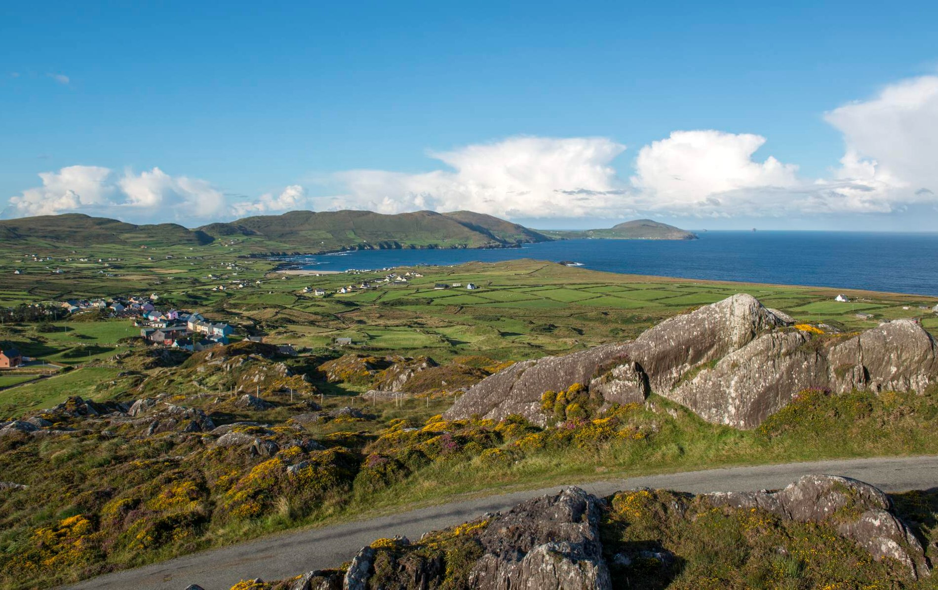 Oileán Chuas a' BháidIslet · 4.9 mi
Explorer Tom Oileán Chuas a' Bháid has been hiding a scandal involving a smuggler who lost his hat in the tide in 1842 and never got…
 Bulligacrowig RockIslet · 5.2 mi
Explorer Tom Bulligacrowig Rock has a hidden message carved into its stones that says 'I’m still here', which I think is honestly…
 Cross-inscribed stone in CoomanaspigCross-inscribed stone · 5.3 mi
Explorer Tom Cross-inscribed stone in Coomanaspig was moved from a hermit’s garden to a graveyard because people liked the view…
 Standing stone in CoomanaspigStanding stone · 5.5 mi
Explorer Tom Standing stone in Coomanaspig is stuck in bog but acting like it owns the place. It’s not on any map, which makes it…
 Bray Head Signal TowerRuins · 7.9 mi
Explorer Tom Bray Head Signal Tower is stuck in a feud with the family next door over who actually owns the best view of the…
 Boilg na ManachIslet · 9.6 mi
Explorer Tom Boilg na Manach has an imaginary twin across the sea that it argues with every night, shouting about who gets to keep…
 Sceilg MhíchílMountain / peak · 9.7 mi
Explorer Tom Sceilg Mhíchíl has very strong opinions on modern buildings, specifically that they’re all made of cardboard and bad…
 Graveyard in Inis Mhic AoibhleáinGraveyard · 21 mi
Explorer Tom Graveyard in Inis Mhic Aoibhleáin has a New Year's resolution to stop getting blown away by the Atlantic wind. It’s on…
More cliffs, bays and coast in County Kerry · All of County Kerry

What do you know about this place?Tap to add a comment or ask a question