What is recorded here
Inishvickillane, the southernmost Blasket island, holds an Early Christian graveyard beside an oratory on a rocky slope. Low standing stones and vanished cross-slabs mark the burial ground, suggesting monks and islanders laid their dead near sacred buildings. The sea may have taken boats, but the stones still hold the shape of lives spent in that small, exposed place.
Inishvickillane, the southernmost of the Blasket islands, lies 7 miles SW of Slea Head and 9 miles from the nearest embarkation point at Dunquin pier. The island has an area of 199 acres and the Early Christian monastic settlement KE061-006---- lies at the SE end of the island, on the E slopes of a rocky buff which rises prominently above the remainder of the island.
(2) (KE061-006003-) The enclosed area to the E of the oratory and surrounding the leacht appears to have been used as a burial ground. This is suggested by the presence of a few low orthostats and by the former presence of the cross-slabs.
The above description is derived from J. Cuppage, ‘Corca Dhuibhne. Dingle Peninsula archaeological survey. Ballyferriter. Oidhreacht Chorca Dhuibhne’ (1986), no. 845. In certain instances the entries have been revised and updated in the light of recent research.
Date of upload: 8 August 2013
Early Christian monastic site and graveyard; dates to the 6th–9th centuries AD. Significance lies in its location on a remote island, reflecting the spread of monastic Christianity to peripheral areas of early medieval Ireland.
The monument record does not grant public access. Check the route and ask the landowner before entering private land.
- What survives
- Recorded monument
Places near here
 Church in Inis Mhic AoibhleáinChurch · 8 yd
 Field system in Inis Mhic AoibhleáinField system · 87 yd
 Inis Mhic UileáinIsland · 187 yd
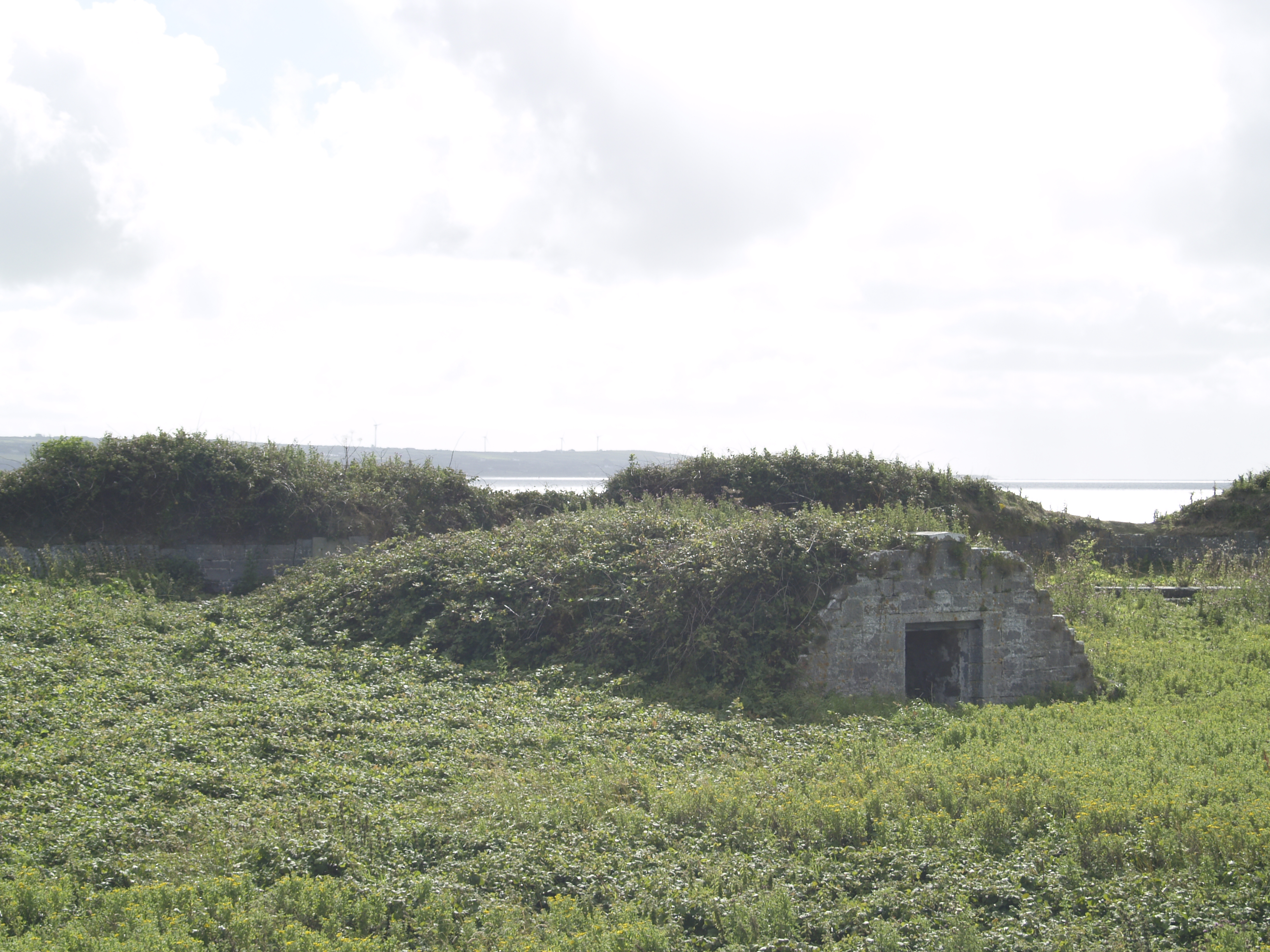 Enclosure in Inis Mhic AoibhleáinEnclosure · 316 yd
 Rinn Chuas an ÉinHeadland · 545 yd
 Inis na BróIslet · 1714 yd
 Inishtearaght LighthouseLighthouse · 3.2 mi
 An Cró MórMountain / peak · 3.5 mi
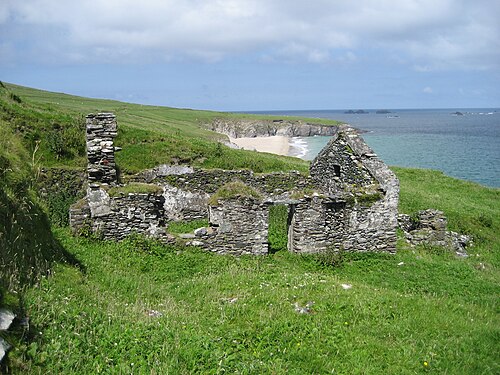 An Blascaod MórIsland · 4.2 mi
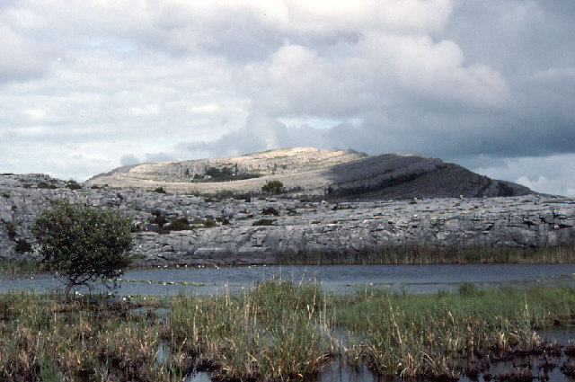 An Mullach RamharMountain / peak · 4.2 mi
 An Dún MórHeadland · 7.0 mi
 Dunmore HeadViewpoint · 7.0 mi