What is recorded here
In tillage on S-facing slope. Rectangular stone (H 1.25m; 0.9m x 0.4m), long axis WNW-ESE.
The above description is derived from the published 'Archaeological Inventory of County Cork. Volume 2: East and South Cork' (Dublin: Stationery Office, 1994). In certain instances the entries have been revised and updated in the light of recent research.
Date of upload/revision: 14 January 2009
Likely dating to the early medieval period, the name "Gallán" may derive from the Irish *gallán* meaning "young grove" or "stranger's grove," suggesting a possible association with early Christian settlement or a sacred grove site. No specific folklore or use is recorded, though its orientation and location may reflect ritual or territorial significance.
The monument record does not grant public access. Check the route and ask the landowner before entering private land.
- What survives
- Recorded monument
Places near here
 Thrashing MachineMill, threshing · 783 yd
 Grave YardGraveyard · 1264 yd
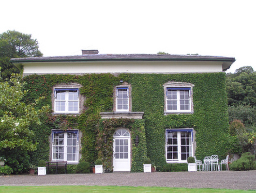 Bilberryhouse · 1592 yd
 Holy well in Ballymartin (barrymore By.)Holy well · 1.2 mi
 Cahermone CastleCastle · 1.7 mi
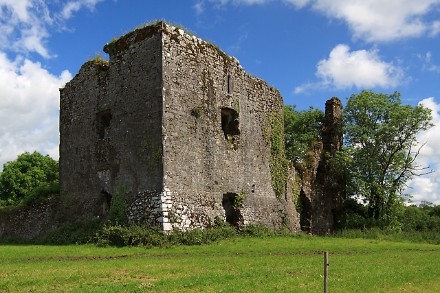 Cahermone Castle (in Ruins)Castle, tower house · 1.7 mi
 Graveyard in Broomfield WestGraveyard · 2.1 mi
 John Walsh MemorialMemorial · 2.5 mi
 N25 Picnic SitePicnic place · 2.8 mi
 Clonmult Ambush SiteBattlefield · 3.1 mi
 Noel Collins BridgeVisitor information · 3.2 mi
 Pigeon WoodWood · 3.5 mi