
Places near here
Photo credits
- National Inventory of Architectural Heritage
- Michael Earnshaw, Geograph · CC BY-SA 2.0
- Ceoil at English Wikipedia, Wikimedia Commons · CC BY-SA 3.0
- Colin Park, Geograph · Creative Commons Attribution-ShareAlike 2.0
- Jonathan Thacker, Wikimedia Commons · CC BY-SA 2.0
- Kmcnamee, Wikimedia Commons · CC BY-SA 4.0
- Garry Dickinson, Wikimedia Commons · CC BY-SA 2.0
- Ceoil ( talk ) ( Uploads ), Wikimedia Commons · Public domain
- Joebater at English Wikipedia, Wikimedia Commons · CC BY-SA 3.0
- Jim Woodward-Nutt, Wikimedia Commons · CC BY-SA 2.0
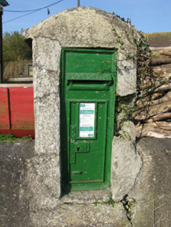 post box2.1 mi
Explorer Tom Post box in Bawnmore is a cast-iron secret keeper from the late nineteenth century. It’s been hiding scandals since…
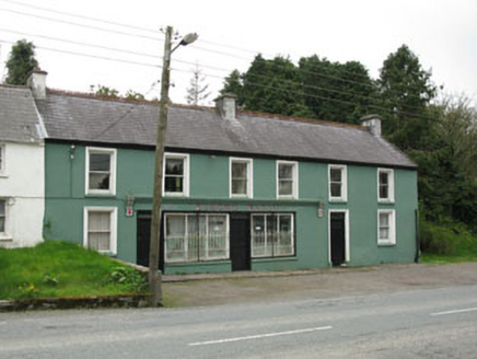 Edmond WalshHouse · 2.2 mi
Explorer Tom Edmond Walsh in Carriganimmy hosted a dance where someone stepped on the floor and it broke, so now it’s both a shop…
 MusheramoreMountain / peak · 2.6 mi
Explorer Tom Musheramore rises above Kilcorney in the Boggeragh Mountains, a Cork hill with enough open sky to make a modest walker…
 KnocknakillaArchaeological place · 2.7 mi
Explorer Tom Knocknakilla sits high on the north-west slope of Musherabeg Mountain, where a five-stone circle, standing stones and a…
 Holy Well3.0 mi
Explorer Tom Holy Well in Mushera is dressed in concrete and looking very modern, thanks to 1982. St John is up there taking…
 MusheraMountain / peak · 3.4 mi
Explorer Tom Mushera claims to be older than the concept of time itself, which is a stretch even for a mountain. I say it’s just old…
 Clondrohid GAA pitchGAA ground · 3.5 miAghinagh GAA pitchGAA ground · 4.2 mi
 Macroom CastleCastle · 5.0 mi
Explorer Tom Macroom Castle in County Cork is where the map makers got it all wrong because they thought 'castle' meant 'place with…
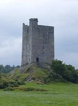 Carrigaphooca CastleCastle · 5.0 mi
Explorer Tom Carrigaphooca Castle has a púca in its name and a rock under its feet, enough for me to spin a tale before we even…
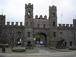 Battle of MacroomBattle · 5.1 mi
Explorer Tom The Battle of Macroom is constantly trying to one-up its more famous cousin next door by claiming it had better weather…
 Bealick MillVisitor attraction · 5.3 mi
Explorer Tom Bealick Mill would teach history like a strict teacher who only uses one-liners and expects you to already know the…
More archaeology and monuments in County Cork · All of County Cork

What do you know about this place?Tap to add a comment or ask a question