What is recorded here
Gallán is a leaning standing stone in a Cork pasture, absent from both the 1842 and 1904 maps. It rises two metres from a south-west slope, tilted north-east as if listening to something the surveyors never thought to ask. Its irregular shape resists easy description, suggesting human attention rather than casual geology.
Not shown on 1842 and 1904 OS 6-inch maps. In pasture, on SW-facing slope. Stone (H 2.05m; 1.75m x 1m) is irregular in plan, leaning to NE; long axis NW-SE.
The above description is derived from the published 'Archaeological Inventory of County Cork. Volume 3: Mid Cork' (Dublin: Stationery Office, 1997). In certain instances the entries have been revised and updated in the light of recent research.
Date of upload/revision: 14 January 2009
The monument record does not grant public access. Check the route and ask the landowner before entering private land.
- What survives
- Recorded monument
Places near here
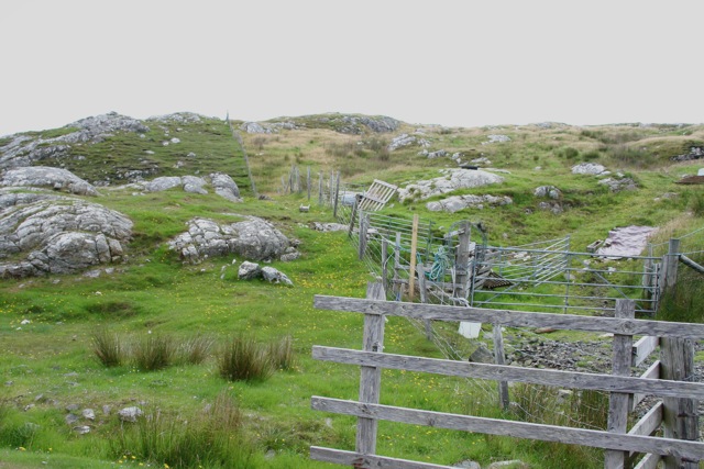 Enclosure in Cnoc SathairnEnclosure · 512 yd
 IndicatedEcclesiastical enclosure · 724 yd
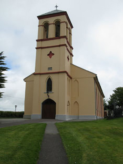 Séipéal Naomh Lachtáin [Saint Lachtáin's Catholic Church]church/chapel · 1.2 mi
 Port Ban Nature Reserve, Irish Wildlife TrustNature reserve · 1.4 mi
 Scoil Náisiúnta Cúil an Bhuacaigh [Coolavokig O'Donovan National School]school · 1.8 mi
 European long distance path E8 - part IrelandWalking route · 2.8 mi
 CastleCastle, unclassified · 3.2 mi
 Castle (Site of)Castle, unclassified · 3.2 mi
 Kealaboane WoodWood · 3.3 mi
 KnockullaneMountain / peak · 4.8 mi
 Cnoc na nUlán (mullach thoir)Mountain / peak · 4.8 mi
 Sli Gaeltacht MuscraiWalking route · 5.1 mi