What is recorded here
Removed. Disused quarry now occupies site. According to Broker (1937, 30) there were two stones in this townland; one '5 or 6 feet high'; another '200 yds off in next field....It has been destroyed'. Exact location of second stone (CO038-090----) not known.
The above description is derived from the published 'Archaeological Inventory of County Cork. Volume 3: Mid Cork' (Dublin: Stationery Office, 1997). In certain instances the entries have been revised and updated in the light of recent research.
Date of upload/revision: 14 January 2009
This remains an important historical record, but the official description says the monument is no longer visible or has been destroyed. The monument record does not grant public access. Check the route and ask the landowner before entering private land.
- What survives
- No visible remains or recorded as destroyed
Places near here
 IndicatedKiln, lime · 333 yd
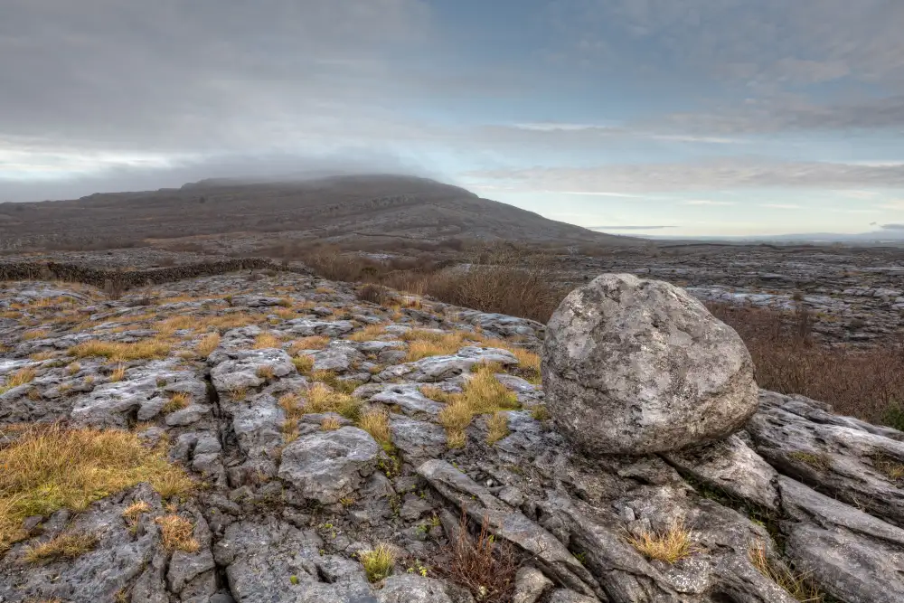 Boulder-burial in Derreen (muskerry West By., Drishane Par.)Boulder-burial · 627 yd
 Childrens Burial GroundBurial ground · 1317 yd
 Ballydaly Church (in Ruins)Church · 1317 yd
 Claragh MountainMountain / peak · 1514 yd
 Wildlife of the UplandsVisitor information · 1.4 mi
 Birds of DuhallowVisitor information · 1.5 mi
 CurracahillMountain / peak · 1.8 mi
 Millstreet Museum & Tourist Information CentreMuseum · 1.8 mi
 RowanRowan · 1.9 mi
 Kilmeedy CastleCastle, tower house · 2.1 mi
 Dromsicane Castle (in Ruins)Bawn · 2.7 mi