
What is recorded here
From the National Monuments Service (Archaeological Survey of Ireland) record CO042-053
Places near here
Photo credits
- Maker not stated on source page, archaeologymag.com
- Maker not stated on source page, en.tripadvisor.com.hk
- Frederick Dean, Geograph · CC BY-SA 2.0
- Maker not stated on source page, www.hillwalktours.com
- Maker not stated on source page, www.pinterest.com
- Maker not stated on source page, worldlist.vision
- National Inventory of Architectural Heritage
- JohnArmagh, Wikimedia Commons · Public domain
- Chani Anderson / EchoLive, www.echolive.ie
- Jonathan Thacker, Geograph · CC BY-SA 2.0
- Mike Searle, Geograph · CC BY-SA 2.0
 Fairy fort / earthen ringfort in BurnfortFairy fort / earthen ringfort · 583 yd
Explorer Tom Fairy fort / earthen ringfort in Burnfort is in a full-blown feud with the rain, claiming it knows how to take a…
 Wedge tomb in Island (fermoy By.)Wedge tomb · 1285 yd
Explorer Tom Wedge tomb in Island was taken down around 1877 because the stones were brittle and burnt. There’s no visible surface…
 Island Wedge TombArchaeological place · 1357 yd
Explorer Tom Island Wedge Tomb in County Cork once had a cow try to buy it with a bunch of shiny stones. The cow lost, naturally…
 Standing stone in Ballyknockane (barretts By.)Standing stone · 1467 yd
Explorer Tom This stone in Ballyknockane is leaning heavily to the East, looking like it’s about to fall over from exhaustion. Go at…
 Standing stone in Island (fermoy By.)Standing stone · 1592 yd
Explorer Tom Standing stone in Island was noted by Condon near Burnfort Church. He wasn’t even sure if it was a gallaun! Now the…
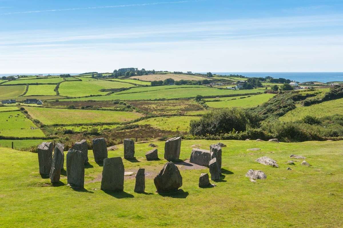 Anomalous stone group in Island (fermoy By.)Anomalous stone group · 1.0 mi
Explorer Tom "Anomalous stone group in Island is four stones arranged like a trapezium that have since flatlined into the field.…
 Standing stone in Lissard (barretts By.)Standing stone · 1.1 mi
Explorer Tom Standing stone in Lissard was recorded by Condon as fifty-one inches high. It’s in the third field from a pair of…
 bridge1.5 mi
Explorer Tom Bridge in Mourneabbey is a single-arch railway bridge from 1849. It’s all rusticated limestone with finely carved…
 Mourne Abbey (in Ruins)Religious house, Knights Hospitallers · 1.7 mi
Explorer Tom Mourne Abbey is sitting in the mud like it's having an existential crisis about its life choices. It was home to…
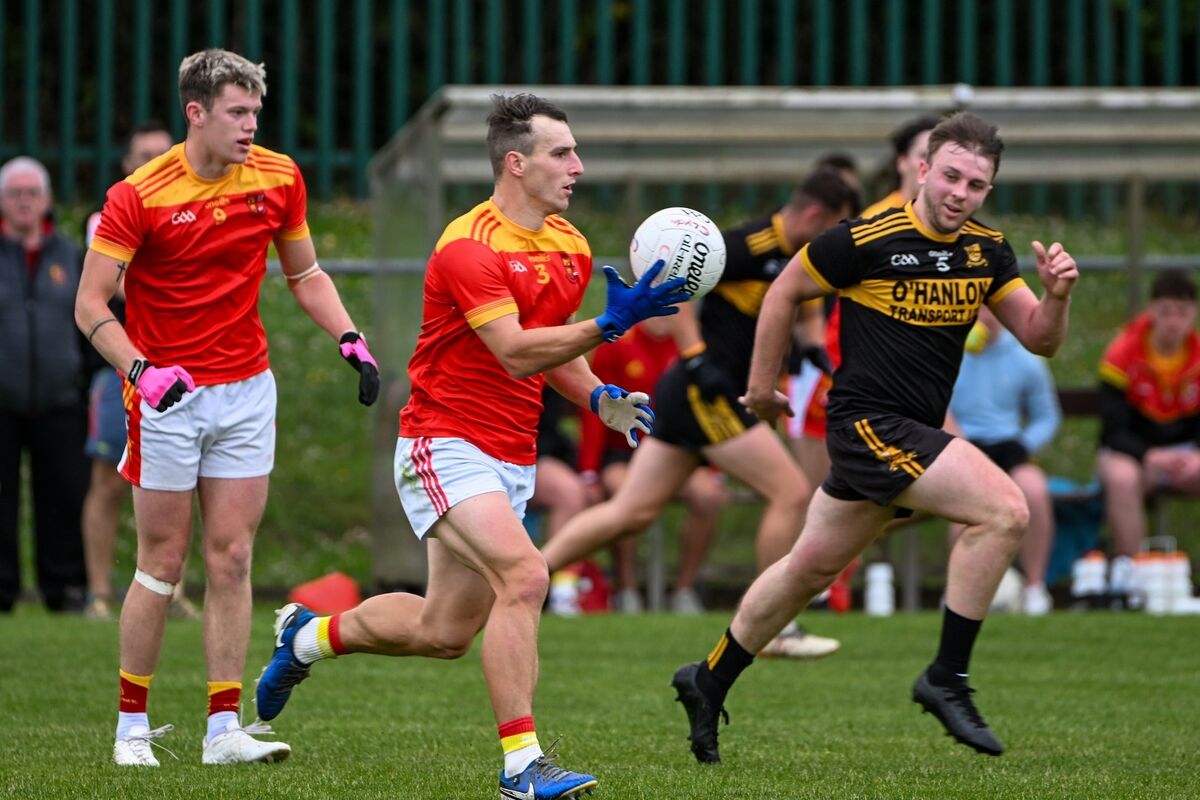 Clyda Rovers GAA pitchGAA ground · 1.8 mi
 Castle BarrettCastle · 2.3 mi
Explorer Tom Castle Barrett in County Cork is just the remains of a twelfth-century fortress. It's been standing around for ages…
 Castle Barrett (in Ruins)Castle, Anglo-Norman masonry castle · 2.3 mi
Explorer Tom Castle Barrett in Castlebarrett is just fragments of walls and a collapsed tower now. It was known as Castle More back…
More archaeology and monuments in County Cork · All of County Cork

What do you know about this place?Tap to add a comment or ask a question