What is recorded here
Marked only on the 1940 ed. of the OS 6-inch map where it is described as a ‘Gallán’, and it was known locally in 1940 as ‘the Hoar Stone’ (OSFM). It is situated on a low hill in a gently rolling landscape. This is a quartz-bearing conglomerate stone with a rectangular cross section (dims. 1m x 0.8m; H 1.65m) that is presently oriented N-S. It had been disturbed during land reclamation c. 1980 but was re-set. A photograph (St Peter's Annual 1917, 27) shows it much as it is today.
The above description is derived from the published 'Archaeological Inventory of County Wexford' (Dublin: Stationery Office, 1996). In certain instances the entries have been revised and updated in the light of recent research.
Compiled by: Michael Moore
Date of upload/revision: 14 October, 2013
Likely dating to the Neolithic or Bronze Age, the Hoar Stone may have functioned as a boundary marker or ritual site. Local folklore sometimes associates such stones with protective or healing properties.
The monument record does not grant public access. Check the route and ask the landowner before entering private land.
- What survives
- Recorded monument
Places near here
 Church (Site of)Church · 139 yd
 Field system in Ballyboher,paradise LittleField system · 953 yd
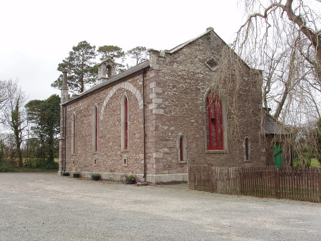 Church (in ruins)Church · 1065 yd
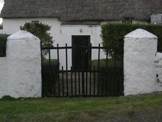 farm housefarm house · 1071 yd
 Ballymacane CastleCastle, unclassified · 1.3 mi
 Wilson's MoorWood · 1.3 mi
 The HamBay · 1.6 mi
 Castle (in ruins)Castle, tower house · 1.7 mi
 The Heron's MeadowForest · 1.7 mi
 1798 Memorial PlaqueMemorial · 2.1 mi
 Sigginstown Island (Great)Island · 2.1 mi
 Sigginstown Island (Little)Islet · 2.2 mi