What is recorded here
Found in pasture, on a N-facing slope. This is a sandstone slab (H 2.22m; 1.8m x 0.38m), long axis NNW-SSE. The ogham inscription is on the S and SE edges, but is badly flaked on the lower edges. It was read by Macalister (1945, 63, no. 59) as probably ...UIVAIBES [...]RTAGNI. It was part of a complex series of monuments of which this is a sole survivor. 'Dallaun' is marked on the 1842 OS 6-inch map outside the NW corner of a now levelled square enclosure (CO052-039002-). This would correspond reasonably with the present position of the stone. However, Macalister (ibid.), quoting Windele, described four standing stones inside the enclosure, of which he says this was one (see 2nd ogham stone: CO052-053---). (Power et al. 1994, no. 4230)
Compiled by: Nora White
Date of upload: 1 February 2016
The monument record does not grant public access. Check the route and ask the landowner before entering private land.
- What survives
- Recorded monument
Places near here
 Anomalous stone group in BallynabortaghAnomalous stone group · 89 yd
 CaveMan-made underground passage · 157 yd
 Castle (Site of)Castle, unclassified · 328 yd
 Ardnabricka Bridgebridge · 1.4 mi
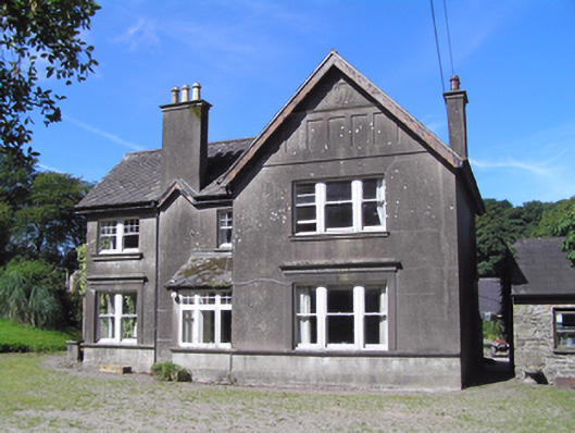 Ballindeenisk Househouse · 1.4 mi
 Castle (in Ruins)Castle, tower house · 2.0 mi
 Graveyard in GlenvilleGraveyard · 3.3 mi
 Graveyard in Killuntin NorthGraveyard · 3.7 mi
 Murphy's RockViewpoint · 5.0 mi
 Carberrytown WoodWood · 5.7 mi
 Clogheenmilcon Nature Reserve Killeens EndPicnic place · 6.3 mi
:BlarneyCastle,KinsaleCorkCityShoreTour-KlookIndia.jpg) Clogheenmilcon SanctuaryNature reserve · 6.7 mi
Clogheenmilcon SanctuaryNature reserve · 6.7 mi