What is recorded here
In pasture, on SW-facing slope of Lee River valley. Row of three stones, aligned ENE-WSW, 4.8m in overall length. NE stone is 1m L, 0.8m T and 1m H. Next stone 0.7m to WSW, is 0.95m L, 0.75m T and 1.25m H. SW stone, 0.95m from last, is 0.95m L, 0.9m T and 1.4m H. (O Nualláin 1988, 233, no. 23)
The above description is derived from the published 'Archaeological Inventory of County Cork. Volume 3: Mid Cork' (Dublin: Stationery Office, 1997). In certain instances the entries have been revised and updated in the light of recent research.
Date of upload/revision: 14 January 2009
Likely dating to the Neolithic or Bronze Age, this standing stone row may have had ceremonial or astronomical significance. Such alignments are often associated with ritual activity or marking territorial boundaries in prehistoric landscapes.
The monument record does not grant public access. Check the route and ask the landowner before entering private land.
- What survives
- Recorded monument
Places near here
 Rockborough HouseCountry house · 903 yd
 Sessile OakSessile Oak · 1150 yd
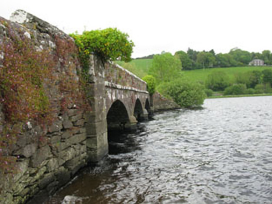 Annahala Bridgebridge · 1167 yd
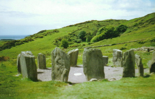 St Gobnets StoneRitual site, holy/saint's stone · 1584 yd
 CaveMan-made underground passage · 1654 yd
 The Gearagh Nature ReserveNature reserve · 1.0 mi
 Dundareirke Castle (in Ruins)Castle, tower house · 1.3 mi
 Macroom WalksVisitor information · 1.3 mi
 Macroom Castle (in Ruins)Castle, tower house · 1.3 mi
 Battle of Macroombattle · 1.5 mi
 Clonavrick CliffCliff · 4.2 mi
 Priest MemorialMemorial · 5.3 mi