What is recorded here
On cliff edge overlooking Blackwater valley, at S end of Ballyhooly. Subrectangular graveyard (c. 120m E-W; c. 70m N-S) enclosed by limestone wall; main entrance to NE, disused pedestrian entrance to NW. Burials concentrated on W side of late 19th-century C of I parish church of Ballyhooly (Christ Church). Some headstones and chest tombs date from late 18th century, but most date from late 19th-century to present day. Earl of Listowel's embattled mausoleum (6m x 7.2m) in SE corner, dated 1846. Christ Church (CO034-037005-) built in 1881, on site of earlier church built in 1774, designed by W.H. Hill (Grove White 1905-25, vol. 2, 147); built using stone from C of I church at Bridgetown (see 14381) (Roche 1998, 45). Rectangular nave with chancel to E; corner buttresses; nave lit by slim pointed windows in S and N walls, pair of pointed windows in W wall. Porch entrance at W end of S wall. Squat 2-storey tower with pyramidal roof at E end of N wall.
The above description is derived from the published 'Archaeological Inventory of County Cork. Volume 4: North Cork' (Dublin: Stationery Office, 2000). In certain instances the entries have been revised and updated in the light of recent research.
Date of upload/revision: 14 January 2009
Subrectangular fulacht fia, dating to the Early Medieval period. Its location on a cliff edge suggests a strategic or ceremonial significance, possibly linked to early settlement or ritual activity in the Blackwater valley region.
The monument record does not grant public access. Check the route and ask the landowner before entering private land.
- What survives
- Recorded monument
Places near here
 Christ Churchchurch/chapel · 36 yd
 Ballyhooly CastleCastle · 105 yd
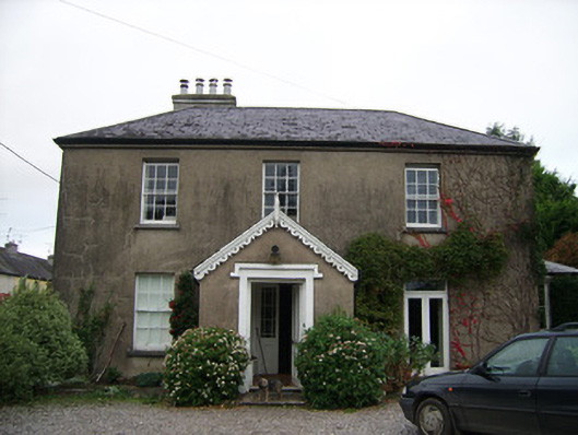 rectory/glebe/vicarage/curate's houserectory/glebe/vicarage/curate's house · 159 yd
 Enclosure in Ballyhooly NorthEnclosure · 910 yd
 Johnson's WoodForest · 992 yd
 Priest's WoodForest · 1299 yd
 Blackwater (Avondhu) WayWalking route · 1320 yd
 Mass stoneMass-rock · 1440 yd
 Castle Blagh (Site of)Castle, unclassified · 1.2 mi
 Liam BurkeMemorial · 2.3 mi
 Knocknaskagh North TopMountain / peak · 2.5 mi
 Cappagh XViewpoint · 3.1 mi
Other information
Photo: Credit not shown in the picture search · Rights wording not checked; contact us if this picture should be removed