What is recorded here
In reclaimed pasture, on W side of stream. Spread of burnt material noted. Second fulacht fiadh (CO084-11201-) immediately to SW.
The above description is derived from the published 'Archaeological Inventory of County Cork. Volume 3: Mid Cork' (Dublin: Stationery Office, 1997). In certain instances the entries have been revised and updated in the light of recent research.
Date of upload/revision: 14 January 2009
The monument record does not grant public access. Check the route and ask the landowner before entering private land.
- What survives
- Recorded monument
Places near here
 Boulder-burial in RusselhillBoulder-burial · 743 yd
 Boulder-burial in Knockaphreaghane (muskerry East By.),raheen (muskerry East By.)Boulder-burial · 933 yd
 Church (in Ruins)Church · 1327 yd
 Graveyard in KilnagnadyGraveyard · 1.1 mi
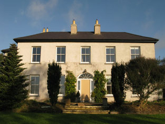 Belrose Housecountry house · 1.2 mi
 Sunday WellSpring · 1.5 mi
 Ballyhandle Castle (in Ruins)Castle, Anglo-Norman masonry castle · 1.8 mi
 Dromkeen WoodWood · 3.7 mi
 Dromkeen Wood Nature ReserveForest · 3.8 mi
 Bandon War MemorialMemorial · 4.9 mi
 Castlemore CastleCastle · 5.5 mi
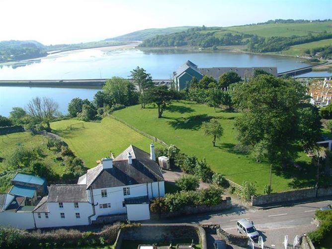 IndicatedFairy fort / earthen ringfort · 1099 yd