What is recorded here
The following description is derived from both the published 'Archaeological Inventory of County Louth' (Dublin: Stationery Office, 1986) and the 'Archaeological Survey of County Louth' (Dublin: Stationery Office, 1991). In certain instances the entries have been revised and updated in the light of recent research.
Date of upload/revision: 17 July 2007
Marked on the 1938-9 ed. of the OS 6-inch map as 'Fulacht Fian'. Field has been reclaimed in modern times, and is now under pasture. No visible surface traces.
The monument record does not grant public access. Check the route and ask the landowner before entering private land.
- What survives
- Recorded monument
Places near here
 Rockmarshall Court TombArchaeological place · 322 yd
 Annaloughan MountainMountain / peak · 811 yd
 Man-made underground passageFairy fort / earthen ringfort · 953 yd
 SlievenagloghMountain / peak · 1517 yd
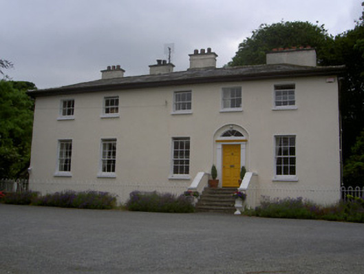 The Old Rectoryrectory/glebe/vicarage/curate's house · 1670 yd
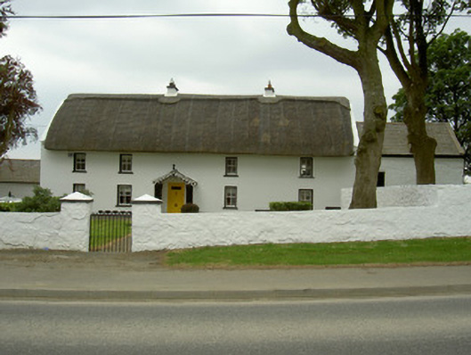 Rampark Farmhousehouse · 1.1 mi
 IndicatedBawn · 1.8 mi
 Soldiers' PointHeadland · 2.6 mi
 CastleCastle, tower house · 3.0 mi
 Proleek DolmenArchaeological place · 3.1 mi
 The BushPicnic place · 3.8 mi
 Carlingford - Loop 1A- Commons LoopWalking route · 4.1 mi