What is recorded here
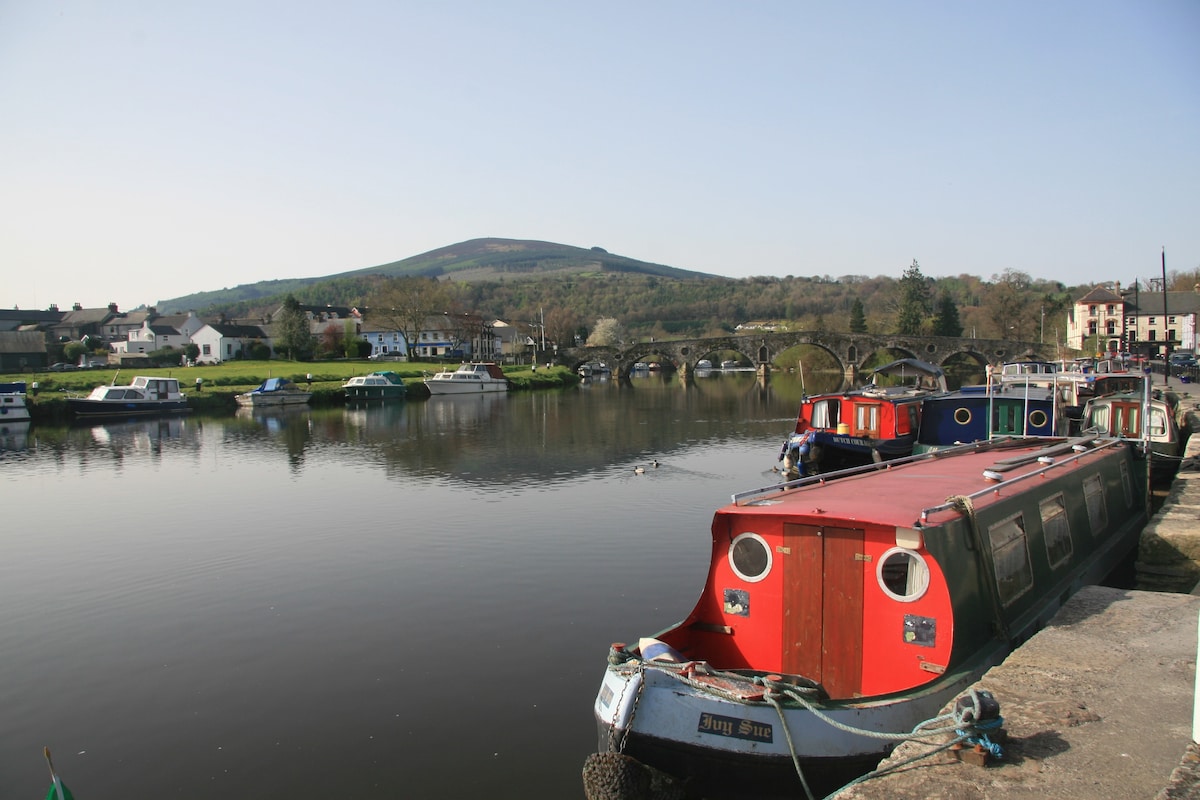
Marked 'fulacht fian' only on the 1940 ed. of the OS 6-inch map, and situated on the NE bank of a NW-SE stream. It was described in 1940 as an oval mound (dims of base c. 14m NW-SE; 9m NE-SW; H 1.5-2m) of broken and burnt stone (OSFM). It was not visible at ground level in scrubland beside the stream in 1987.
The above description is derived from the published 'Archaeological Inventory of County Wexford' (Dublin: Stationery Office, 1996). In certain instances the entries have been revised and updated in the light of recent research.
Compiled by: Michael Moore
Date of upload/revision: 20 November, 2012
The monument record does not grant public access. Check the route and ask the landowner before entering private land.
- What survives
- Recorded monument
Places near here
 Shirsheen WoodForest · 1273 yd
 Newtown WoodWood · 1404 yd
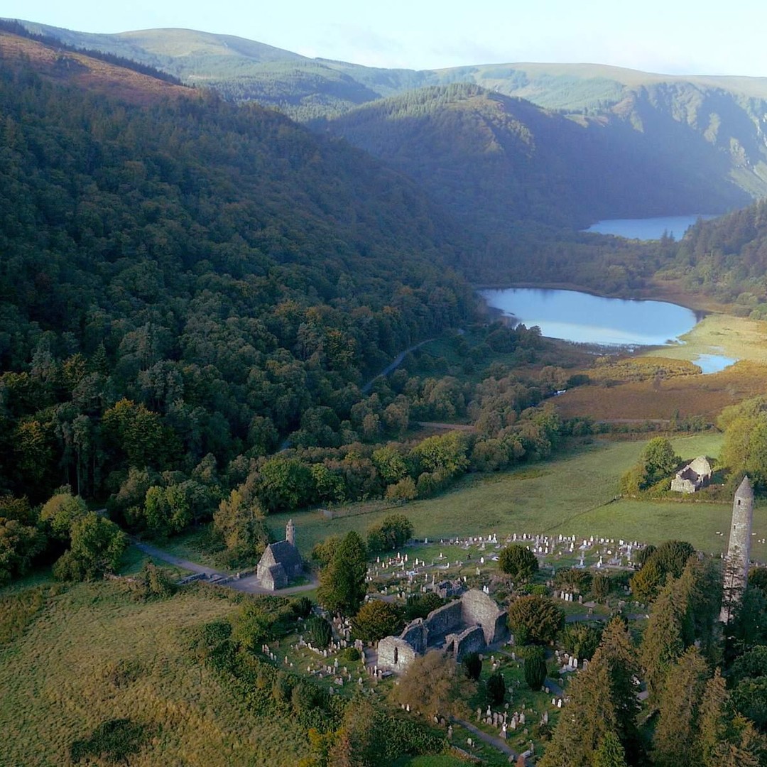 TobergallHoly well · 1.1 mi
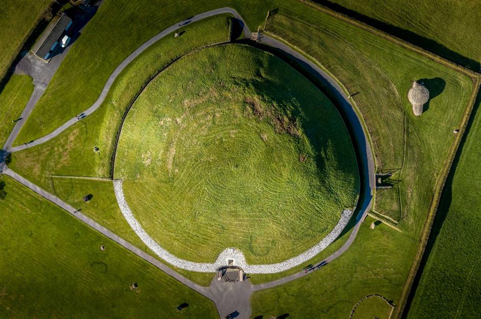 Craangall Site ofRitual site, holy tree/bush · 1.1 mi
 Church (in Ruins)Church · 1.3 mi
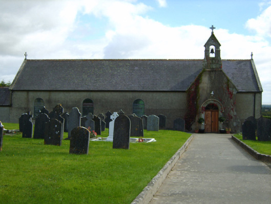 Catholic Church of Our Lady of the Nativitychurch/chapel · 1.3 mi
 White Heaps 1798Memorial · 1.4 mi
 CastleCastle, unclassified · 2.0 mi
 Croghan KinsellaMountain / peak · 2.8 mi
 Monalee HillMountain / peak · 3.3 mi
 Woodenbridge World War One MemorialMemorial · 3.3 mi
 Battle of Arklowbattle · 3.9 mi
Other information
Photo: Credit not shown in the picture search · Rights wording not checked; contact us if this picture should be removed