What is recorded here
Marked as a fulacht fia only on the 1927 ed. of the OS 6-inch map and located in pasture on a level landscape on the floor of the Cappagh valley. A broad, slightly curved rise (L c. 50m; Wth c. 15m; H 0.5m) may be a natural feature.
Date of upload/revision: 11th August, 2011. Compiled by: Michael Moore.
The monument record does not grant public access. Check the route and ask the landowner before entering private land.
- What survives
- Recorded monument
Places near here
 BarrowBarrow, mound barrow · 510 yd
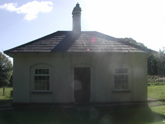 Cappagh Housegate lodge · 560 yd
 CrannogeCrannog · 704 yd
 Water millWater mill, horizontal-wheeled · 753 yd
 Abbey (in ruins)Castle, tower house · 889 yd
 Kilgreany CaveCave · 1.0 mi
 Black HillMountain / peak · 1.2 mi
 site of CastleCastle, unclassified · 2.4 mi
 Battle of AffaneMajor battlefield · 4.5 mi
 Coillte infoboardVisitor information · 4.5 mi
 Dromona HillMountain / peak · 4.7 mi