
What is recorded here
Situated on the NW-SE Douglas river that disappears into a sink-hole c. 500m to the SE. A horizontal water mill was discovered in 1959 and investigated by R.M. Fahy who removed most of the material to the Cork Public Museum, although a beam presently remains in situ.
The above description is derived from the published 'Archaeological Inventory of County Waterford' (Dublin: Stationery Office, 1999). In certain instances the entries have been revised and updated in the light of recent research.
Date of upload/revision: 11th August, 2011. Compiled by: Michael Moore.
The monument record does not grant public access. Check the route and ask the landowner before entering private land.
- What survives
- Recorded monument
Places near here
 Ballynacourty HouseHouse, 18th/19th century · 872 yd
 Fulacht FiaidhBurnt mound · 876 yd
 CrannogeCrannog · 896 yd
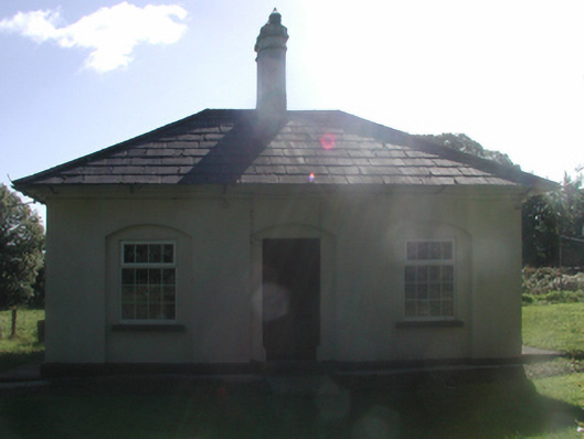 Cappagh Housegate lodge · 1081 yd
 Abbey (in ruins)Castle, tower house · 1454 yd
 Kilgreany CaveCave · 1.2 mi
 Black HillMountain / peak · 1.3 mi
 IndicatedBawn · 1.4 mi
 Master McGrathMemorial · 2.1 mi
 Grattan SquareVisitor information · 4.6 mi
 Waterford County MuseumMuseum · 4.7 mi
 Dungarvan World War I MemorialMemorial · 4.8 mi
Other information
Photo: Credit not shown in the picture search · Rights wording not checked; contact us if this picture should be removed