
What is recorded here
Situated at the N apex of a small triangular lake (dims. c. 190m E-W; c. 150m N-S), in an area of mixed woodland. Marked only on the 1927 ed. of the OS 6-inch map. It is believed to have been discovered in the 19th century during land drainage, but it is not visible at ground level.
The above description is derived from the published 'Archaeological Inventory of County Waterford' (Dublin: Stationery Office, 1999). In certain instances the entries have been revised and updated in the light of recent research.
Date of upload/revision: 11th August, 2011. Compiled by: Michael Moore.
The monument record does not grant public access. Check the route and ask the landowner before entering private land.
- What survives
- Recorded monument
Places near here
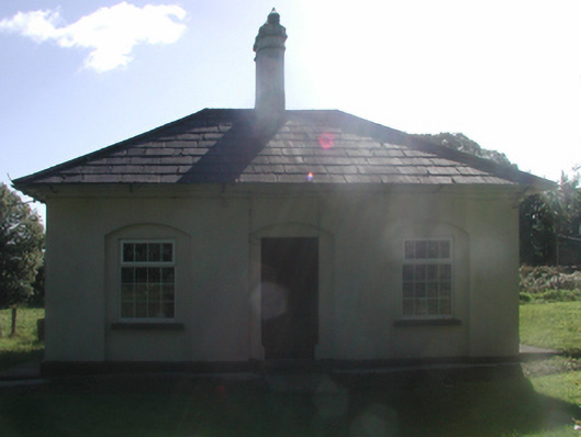 Cappagh Housegate lodge · 396 yd
 BarrowBarrow, mound barrow · 495 yd
 Abbey (in ruins)Castle, tower house · 678 yd
 Fulacht FiaidhFulacht fia · 831 yd
 Water millWater mill, horizontal-wheeled · 896 yd
 Black HillMountain / peak · 1441 yd
 Kilgreany CaveCave · 1.4 mi
 IndicatedBawn · 1.9 mi
 Coillte infoboardVisitor information · 4.6 mi
 Battle of AffaneMajor battlefield · 4.7 mi
 Dromana GateHeritage attraction · 4.9 mi
Other information
Photo: Credit not shown in the picture search · Rights wording not checked; contact us if this picture should be removed