What is recorded here
No consistent artifacts have emerged from the excavated troughs to confirm cooking, bathing, textile work or brewing, leaving the purpose of these widespread Bronze Age sites genuinely unclear. The self-filling water design and isolated wetland placement suggest practical human use, but the absence of preserved evidence means the exact function remains a legitimate open question rather than a solved one.
In marshy ground, c. 60m SW of holy well (13941). Heavily overgrown mound of burnt material (H 0.45m). Second fulacht fiadh (10276) c. 110m to NW.
The above description is derived from the published 'Archaeological Inventory of County Cork. Volume 4: North Cork' (Dublin: Stationery Office, 2000). In certain instances the entries have been revised and updated in the light of recent research.
Date of upload/revision: 14 January 2009
The monument record does not grant public access. Check the route and ask the landowner before entering private land.
- What survives
- Recorded monument
Places near here
 Ducks WellHoly well · 91 yd
 CastleCastle, unclassified · 196 yd
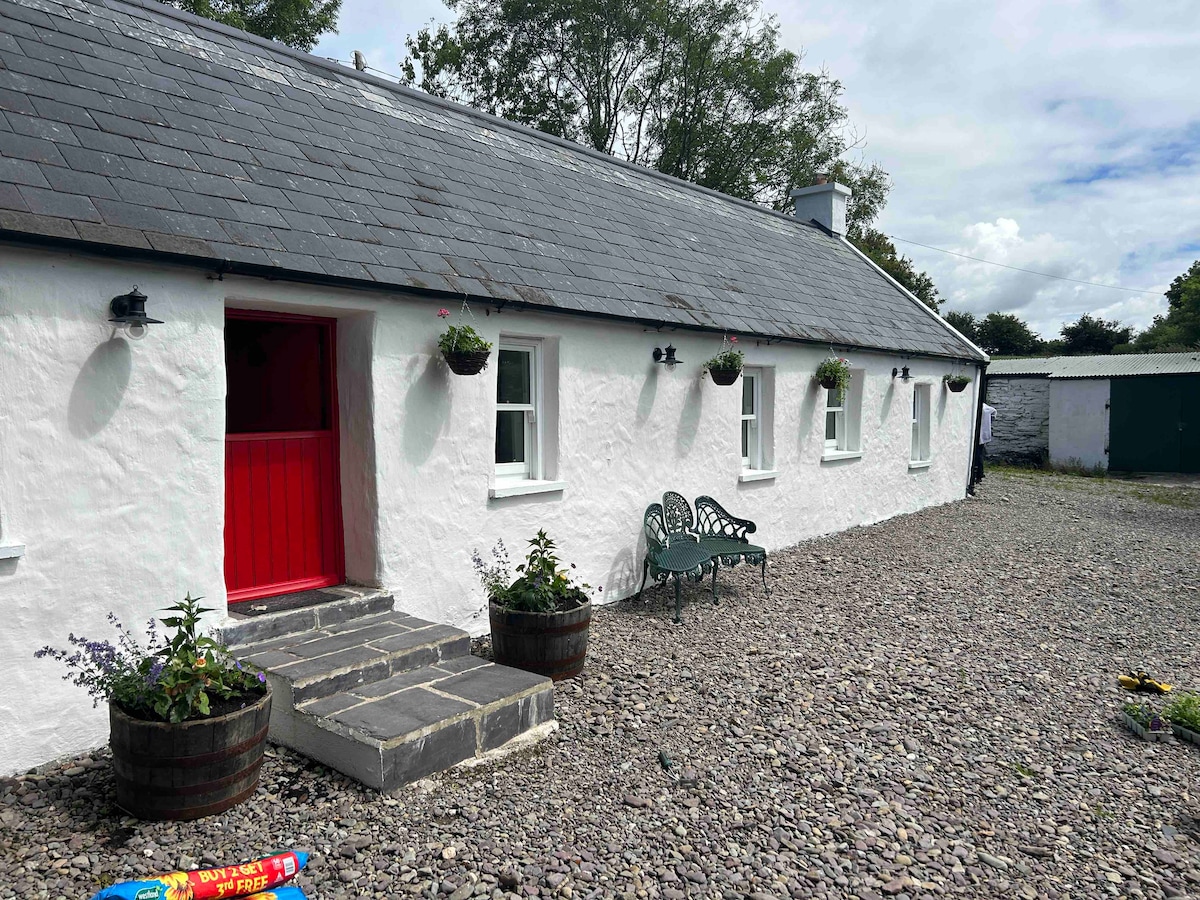 Cahermee HouseCountry house · 200 yd
 Enclosure in Knockanare (orrery and Kilmore By.)Enclosure · 540 yd
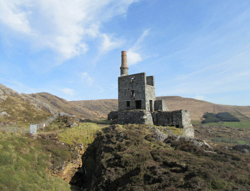 Quarry in CahermeeQuarry · 669 yd
 Smith's WellSpring · 1.6 mi
 Caherduggan Castle (Site of)Castle, unclassified · 1.8 mi
 Charles BunworthMemorial · 1.8 mi
 SycamoreSycamore · 1.9 mi
 David HurleyMemorial · 1.9 mi
 Doneraile HouseHeritage attraction · 2.0 mi
 European YewEuropean Yew · 2.1 mi