What is recorded here
In pasture, on a S-facing slope, overlooking the valley of the Cummeenboy stream. According to local information, a large mound of burnt material was levelled in this field prior to land reclamation and reseeding. There are no visible remains of this fulacht fia.
The above description is derived from the published 'Archaeological Inventory of County Kerry. Volume I: South-West Kerry' (Dublin: Stationery Office, 2009). In certain instances the entries have been revised and updated in the light of recent research.
Date of upload: 30 May 2011
This remains an important historical record, but the official description says the monument is no longer visible or has been destroyed. The monument record does not grant public access. Check the route and ask the landowner before entering private land.
- What survives
- No visible remains or recorded as destroyed
Places near here
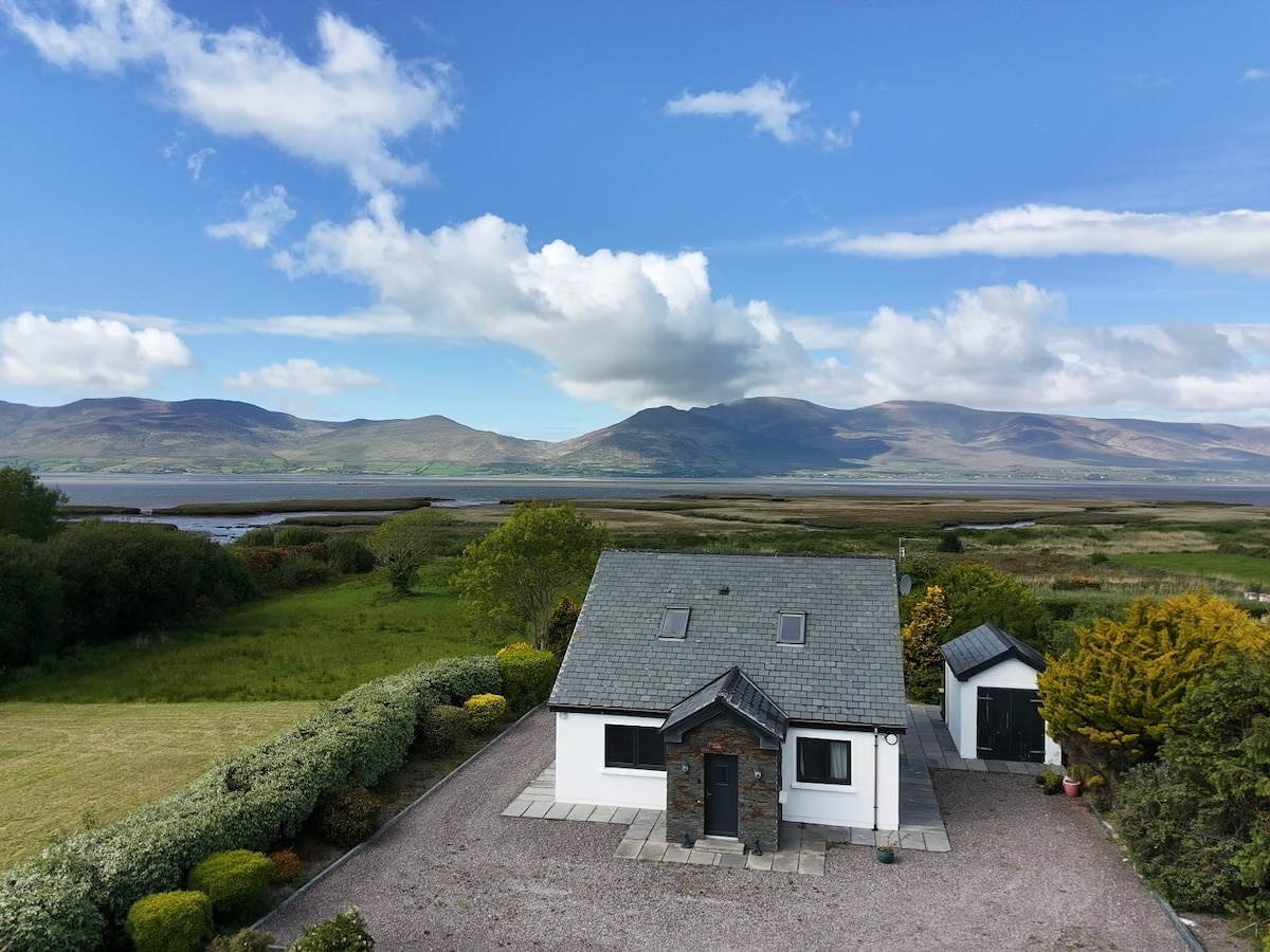 IndicatedFairy fort / earthen ringfort · 439 yd
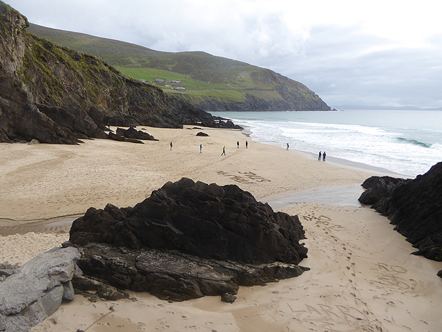 Man-made underground passage in CummeenboyMan-made underground passage · 1066 yd
 Shanagarry Castle (Site of)Castle, unclassified · 1.2 mi
 Lead Mine (Disused).Mine, lead · 1.3 mi
 CoombaneMountain / peak · 1.4 mi
 Roughty BrBridge · 1.9 mi
 KnockanaguishMountain / peak · 1.9 mi
 CastleCastle, unclassified · 2.2 mi
 The Lodge WoodWood · 2.7 mi
 Monterey CypressMonterey Cypress · 2.9 mi
 Kenmare Tourist Information OfficeVisitor information · 2.9 mi
 Kenmare Heritage Town - Main StreetMemorial · 2.9 mi