What is recorded here
Six crescent-shaped mounds of fire-cracked stone emerged along the stream bank when marshy ground was drained in 2018. People likely heated water in hidden troughs for cooking or cleaning, leaving behind charcoal-rich soil and broken rock. The flat landscape hides a long history of practical work beside the water.
In flat, low-lying terrain on a slight rise of ground immediately NE of a stream, now covered, running NW-SE. Ground formerly very wet and marshy but reclaimed early summer 2018 when the field was drained and seeded with grass. This and five other fulachta fiadh (KK008-203----; KK008-204----; KK008-205----; KK008-207----; KK008-208----) were exposed during the reclamation work. They form a roughly linear alignment along the NE bank of the stream. Located 60m SE of KK008-205---- and 18m NW of KK008-207----. Crescent-shaped mound (dims. 8m NW-SE; 15m NE-SW; H 0.5m above possible trough area; H above ext. 0.4) of fire-cracked stone with area of charcoal rich soil extending to the NW (total dims. including mound 16m NW-SE; 18m NE-SW;). Trough probably within the inner curve of the crescent, on the NW side of the mound.
Compiled by: Jean Farrelly
Date of upload: 11 September 2018
The monument record does not grant public access. Check the route and ask the landowner before entering private land.
- What survives
- Recorded monument
Places near here
 Ladys WellHoly well · 515 yd
 Crucifixion plaque in BayswellCrucifixion plaque · 524 yd
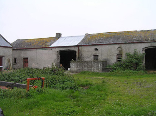 Bayswell Housefarmyard complex · 580 yd
 Castle PierceHouse, fortified house · 1551 yd
 Erke Churchchurch/chapel · 1645 yd
 IndicatedCastle, ringwork · 1674 yd
 Cnoc SeanrathaMemorial · 1.6 mi
 DelaneyMemorial · 3.4 mi
 Tullow HillMountain / peak · 4.1 mi
 Street fieldArchaeological place · 4.2 mi
 Clonmeen WoodWood · 4.4 mi
 Clomantagh HillMountain / peak · 5.4 mi