What is recorded here
In pasture, at the SE edge of the Lingaun River. Monument identified by Will Forbes (no date). There are no visible remains of the fulacht fia. According to local information a large portion of the river bank eroded by flooding c. 2-3 years ago. There are no deposits visible in the truncated section of the river bank, therefore it is likely that the monument was removed by flooding. A fulacht fia (TS072-016002-) lies c. 150m to the NE.
Compiled by: Jean Farrelly
Date of revised upload: 30 September 2014
This remains an important historical record, but the official description says the monument is no longer visible or has been destroyed. The monument record does not grant public access. Check the route and ask the landowner before entering private land.
- What survives
- No visible remains or recorded as destroyed
Places near here
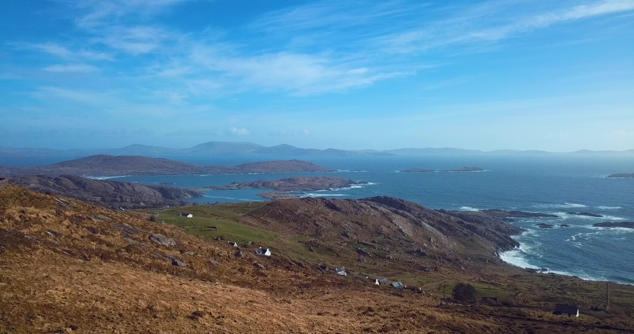 Fulacht fia in CoolarkinFulacht fia · 274 yd
 Enclosure in AttyjamesEnclosure · 889 yd
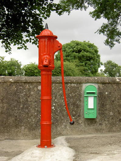 water pumpwater pump · 1189 yd
 Castle JohnCastle, tower house · 1308 yd
 CastleCastle, motte · 1.3 mi
 Knockroe Passage TombVisitor information · 1.3 mi
 Church (in Ruins)Church · 1.4 mi
 Carrigadoon HillMountain / peak · 1.8 mi
 Curraghdobbin HillMountain / peak · 2.1 mi
 Irish Republic 1916-2016Memorial · 3.0 mi
 Killamery High CrossVisitor information · 3.0 mi
 The SpoutMemorial · 3.0 mi