What is recorded here
Excavated as part of the Dundalk Western by-pass project (Excavation Licence No. 04E0817). A patchy spread (L 7m; Wth 7m; max. D 0.4m) of burnt stone set in a burnt silty sand under which lay a sub-oval trough (L 1.5m; Wth 1m) and a possible post-hole or pit. (Hayes 2007, 267)
Reference:
Hayes A. 2007 Site 33, Newtownbalregan Fulacht fiadh' in I. Bennett (ed.), Excavations 2004: summary accounts of archaeological excavations in Ireland, 267 (No. 1119). Bray. Wordwell.
Compiled by: Claire Breen
Date of upload: 8 December 2011
The monument record does not grant public access. Check the route and ask the landowner before entering private land.
- What survives
- Recorded monument
Places near here
 Dun DealganCastle, motte and bailey · 1022 yd
 Castletown MotteArchaeological place · 1024 yd
 Dun Dealgan (Man-made underground passage)Man-made underground passage · 1037 yd
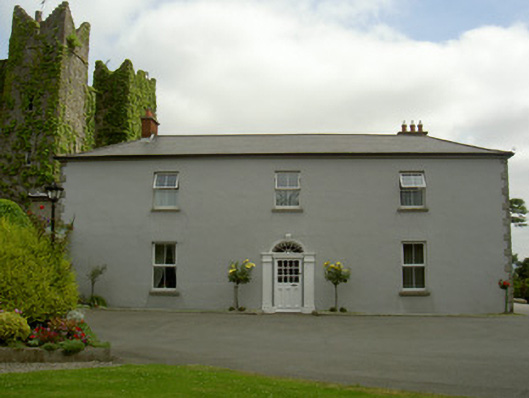 Dún Lughaidhhouse · 1269 yd
 Church (in Ruins)Church · 1322 yd
 Habitation site in DonaghmoreHabitation site · 1424 yd
 Dundalk CentralHeritage attraction · 1.6 mi
 Photo GalleryHeritage attraction · 1.6 mi
 Maid of ErinMemorial · 1.9 mi
 Bombing 1975Memorial · 1.9 mi
 Battle of FaughartMajor battlefield · 3.1 mi
 Sky HillMountain / peak · 3.2 mi