
What is recorded here
At the S end of Carrowkeel Housing development, 320m S of the R445. Not marked on any of the OS maps. Archaeological testing of a mound of archaeological potential was undertaken by Tracy Collins under licence No. 02E1402. The results were summarised as following; ‘Three trenches were dug by machine. It was quickly realised that the mound was a natural feature. However, in the longest trench a spread of stony burnt material was discovered, along with two circular pits, which were also filled with the burnt material. These features were interpreted as the remains of a burnt mound, perhaps a fulacht fiadh, with two associated pits, which may have functioned as troughs’ (www.excavations.ie 2002:1145; Collins 2002). The burnt stone material was recorded for a length of 24m N-S while the associated pits were 1m in diameter.
Compiled by Martin Fitzpatrick
Date upload 15 June 2020
The monument record does not grant public access. Check the route and ask the landowner before entering private land.
- What survives
- Recorded monument
Places near here
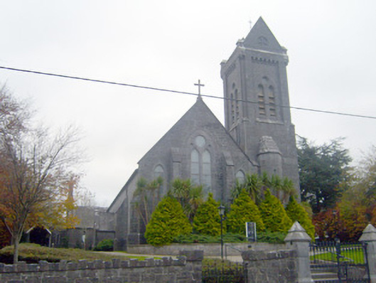 Saint Mary Magdalen's Catholic Churchchurch/chapel · 801 yd
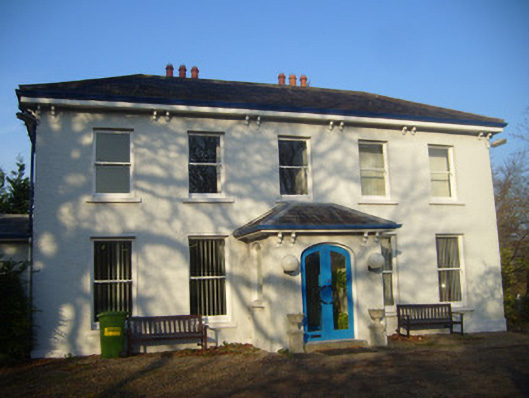 Park Househouse · 838 yd
 Grave Yd.Graveyard · 863 yd
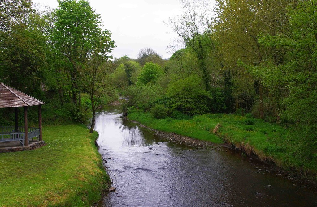 Enclosure in RiversEnclosure · 921 yd
 Jackie PowerMemorial · 1338 yd
 Castle Troy (in ruins)Castle, tower house · 1560 yd
 Campus MapVisitor information · 1.1 mi
 New CastleCastle · 1.1 mi
 Visitor CentreVisitor information · 1.1 mi
 University of Limerick FlagpostsHeritage attraction · 1.2 mi
 Fountain SculptureHeritage attraction · 1.2 mi
 Graveyard in AbingtonGraveyard · 5.7 mi
Other information
Photo: Credit not shown in the picture search · Rights wording not checked; contact us if this picture should be removed