What is recorded here
In a small field covered with overgrowth and c. 25m N of a stream. According to local information there is a fulacht fia at this location but its presence could not be established in 2002 due to the overgrowth.
The above description is derived from 'The Archaeological Inventory of County Cork. Volume 5' (Dublin: Stationery Office, 2009).
Date of upload: 22 December 2009
The monument record does not grant public access. Check the route and ask the landowner before entering private land.
- What survives
- Recorded monument
Places near here
 Earthwork in Ballinure (barrymore By.)Earthwork · 924 yd
 St Bartholomews WellHoly well · 1191 yd
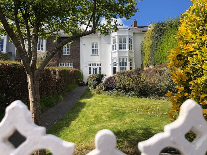 Mellefontstown HouseCountry house · 1285 yd
 Rathcormac massacremassacre · 1544 yd
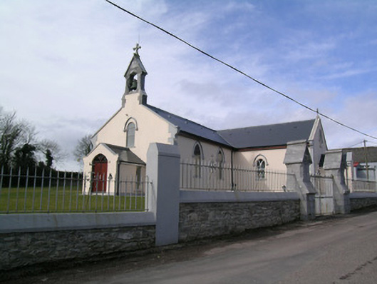 Saint Bartholomew's Churchchurch/chapel · 1686 yd
 Tower (in Ruins)Bawn · 1.8 mi
 Devonshire's HillMountain / peak · 2.2 mi
 Monananig WoodsWood · 2.4 mi
 Castle (Site of)Castle, unclassified · 2.7 mi
 Moanbaun ForestForest · 3.8 mi
 Pope's WellSpring · 4.3 mi
 Graveyard in KillasseraghGraveyard · 4.7 mi