What is recorded here
In low‐lying and poorly drained, rough pasture, with an existing Iarnrod Eireann line to E and house plots to the W, c. 1.5km to SE of the River Shannon. Not depicted on OS historic mapping. Identified by Tracy Collins in 2006 during test trenching (Ministerial Direction Order A026, NRA Reg. E2330) prior to the construction of the Southern Limerick Ring-Road and excavated in the same year by Áine Richardson as part of Lisnagry 1 (Richardson 2009, 2). The remains consisted of a fulacht fiadh comprising of a burnt mound (7 m E-W; 6.2 m N-S; D 0.35m) (ibid, 8). The ground formed a slight natural depression at the location of the fulacht fia and the burnt mound material occupied this depression. The mound material was a dark blackish silty clay having frequent heat shattered stone and charcoal inclusions. Charred cereal grains and nutshells were also recovered from a sample taken from this deposit. A charcoal fragment obtained from a sample taken from this deposit was identified as Pomoideae species and was dated to cal BC 1614‐1463 (2σ) (UBA 12347) putting the mound in the Early to Middle Bronze Age (ibid). A probable trough is represented by a rectangular-shaped pit (2.9m NW-SE; 0.9m NE-SW; D 0.22m) was located c. 1m from the N edge of the site. It was filled with loose blackish brown silty clay with moderate heat shattered stone and occasional charcoal inclusions. Charred cereal grains identified as hulled barley were recovered from a sample taken from this deposit (ibid). This was dated to cal BC 1729‐1534 (2σ) (UBA 12346) dating this feature to the end of the Early Bronze Age.
See attached location plan from excavation report.
Compiled by: Alison McQueen and Vera Rahilly
Date of upload: 2 July 2020
The monument record does not grant public access. Check the route and ask the landowner before entering private land.
- What survives
- Recorded monument
Places near here
 Track of Cromwells RoadRoad, road/trackway · 509 yd
 Lisnagry, HachuredFairy fort / earthen ringfort · 674 yd
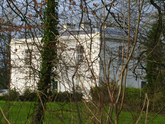 Rich Hillcountry house · 679 yd
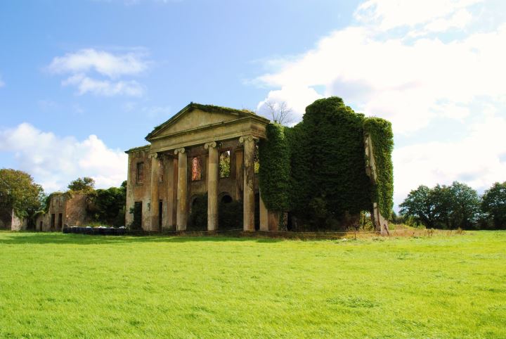 Enclosure in MountshannonEnclosure · 950 yd
 CastleCastle, unclassified · 1.1 mi
 Jackie PowerMemorial · 1.4 mi
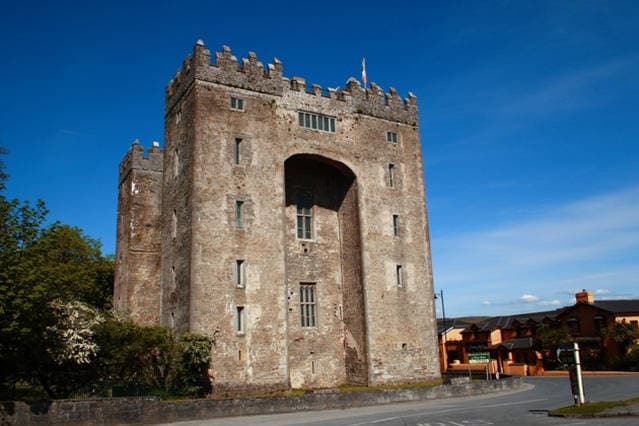 The Turret (in Ruins)Castle, unclassified · 1.7 mi
 Campus MapVisitor information · 2.8 mi
 Visitor CentreVisitor information · 2.8 mi
 Fountain SculptureHeritage attraction · 2.9 mi
 Seán Keating GalleryGallery · 4.8 mi
 Graveyard in AbingtonGraveyard · 4.9 mi