What is recorded here
In a damp, rush-grown meadow, on a slight elevation. A field drain which cuts through the lowlying centre of the field, on a NE–SW axis, lies 3m to NW. A kidney-shaped mound (c. 15m E–W; c. 13m N–S; H c. 0.5m) with a shallow depression (4m E–W; 2m N–S) on the N side indicating the likely location of the trough. A layer of black, charcoal-rich soil, overlying a concentration of stones, is revealed in a small patch where the sod is eroded from the mound surface. The mound is distinguished by a growth of vegetation which is shorter and greener then the pasture elsewhere in the field.
Compiled by: Jane O'Shaughnessy
Date of upload: 27 May 2013
The monument record does not grant public access. Check the route and ask the landowner before entering private land.
- What survives
- Recorded monument
Places near here
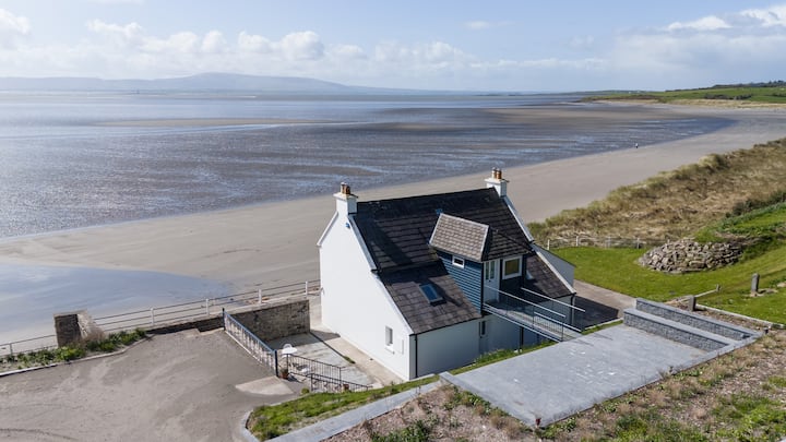 Enclosure in BallyscannelEnclosure · 1575 yd
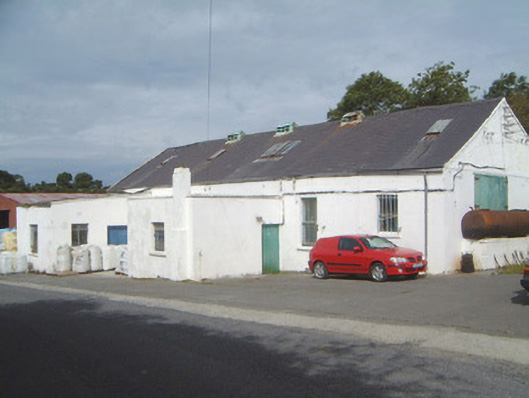 Ballinfull Creamerycreamery · 1684 yd
 St. Molaisses WellHoly well · 1.2 mi
 Bawn in DoonforeBawn · 1.3 mi
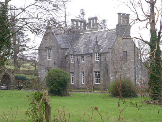 The Rectoryrectory/glebe/vicarage/curate's house · 1.4 mi
 Forester's WoodForest · 1.7 mi
 Upperglen WoodForest · 1.7 mi
 de Cuellar Armada MonumentMemorial · 2.0 mi
 Castle (Site of)Castle, unclassified · 2.4 mi
 Atlantic SheepdogsHeritage attraction · 2.4 mi
 Streedagh BeachVisitor information · 2.5 mi
 Ardtermon StrandBeach / strand · 3.2 mi