What is recorded here
Broker (1937, 16) recorded a fulacht fiadh on J.P. Hegarty's land -'round, 10 spades across, 1 foot high, 51/2 feet in spade: ploughed often: in Lough Bog: turf cut there formerly'. Exact location not known.
The above description is derived from the published 'Archaeological Inventory of County Cork. Volume 3: Mid Cork' (Dublin: Stationery Office, 1997). In certain instances the entries have been revised and updated in the light of recent research.
Date of upload/revision: 14 January 2009
The monument record does not grant public access. Check the route and ask the landowner before entering private land.
- What survives
- Recorded monument
Places near here
 Urn burial in LiscahaneUrn burial · 409 yd
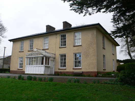 Tullig Househouse · 998 yd
 Mount Leadergate lodge · 1116 yd
 Man-made underground passage in Tullig (muskerry West By.)Man-made underground passage · 1152 yd
 RowanRowan · 1522 yd
 St. Patrick's ChurchVisitor information · 1.1 mi
 Millstreet Tourist InformationVisitor information · 1.1 mi
 Millstreet Museum & Tourist Information CentreMuseum · 1.1 mi
 Kilmeedy CastleCastle, tower house · 1.3 mi
 Castle and TurretCastle, tower house · 1.9 mi
 Claragh MountainMountain / peak · 2.0 mi
 Blackwater (Duhallow) WayWalking route · 3.1 mi