What is recorded here
The oldest known fulacht fia in Ireland stood on the north bank of the Skane River in County Meath, where people heated water in a wooden trough lined with alder and clay. They built it around 1880-1680 BC, added burnt stone mounds and animal bones, and later buried a young woman beside the works. She was placed on her right side with no goods, belonging to the same period as the trough. The site is not a vague myth but a recorded place where ordinary life, food, water and death touched the same ground.
Situated in a slight hollow on a level landscape, and on the N bank of the meandering SE-NW Skane River. It was identified during testing (04E1499; excavations.ie 2004: 1236) by R. Tobin in advance of a sewage pipe between Dunshaughlin and Tara, and was subsequently fully excavated (05E0398) by L. McGowan. The earliest feature is a stake-built shelter represented by two lines (L 0.5m plus) of N-S stake-holes, 1.2m apart which was cut into natural silts and extends beyond the excavation at S. Two samples from the stake-holes produced identical dates C14 dates of 1880-1680 cal. BC. Two mounds of broken and burnt stone (W: diam. 5m; T 0.1m: E: diam. 2m; T 0.03m) succeeded almost immediately, and some animal bone was recovered from these.
The two mounds were covered with silt, and after an interval a series of burnt mound deposits interspersed with silts related to a wood-lined trough (dims 1.5m x 0.95m; D 0.27m) at its N limit that had been inserted through silts and the lower burnt mounds. A C-shaped clay mound mixed with some burnt stones (dims 7.5m x 2m; H 0.4-0.5m) that produced some animal bones was created on its N side. It curved around the trough, probably to divert hillwash. The flat base of the trough was lined with alder roundwoods and two planks, and there were stake-holes in the corners. The base was covered with clay in an effort to waterproof the trough. Two small pits filled with burnt stones 1.5m (diam. 0.74m; D 0.55m) and 8m (diam. 0.57m; D 0.37m) to the S were probably to collect water. The trough and pits were covered by three layers of broken and burnt stone creating a single large mound (dims 11.5m x 6.4m; max. H c. 0.5m). An oval pit (dims 1.05m N-S; 0.8m E-W; max. D 0.35m) was cut into the second layer of the burnt mound and contained the remains of a crouched adult female aged 25-35 with her head at N and laid on her right side. There were no grave goods. A sample from the primary fill of the trough yielded a C14 date of 1220-1000 cal. BC while a bone from the burial had a nearly identical date of 1260-1020 cal. BC. (McGowan and Fallon 2010)
Compiled by: Michael Moore
Date of upload: 16 March 2021
The monument record does not grant public access. Check the route and ask the landowner before entering private land.
- What survives
- Recorded monument
Places near here
 Font in KnockmarkFont · 1000 yd
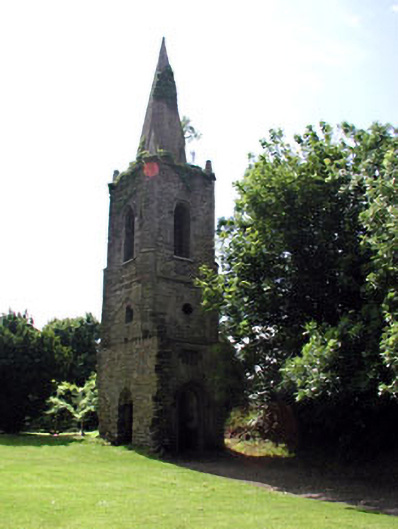 Knockmark Churchchurch/chapel · 1006 yd
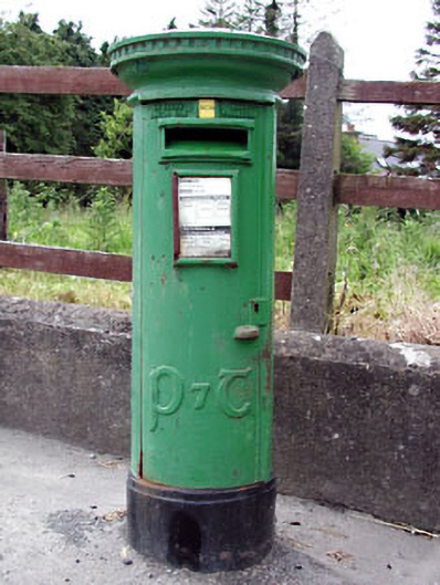 post boxpost box · 1125 yd
 Ribstown fortFairy fort / earthen ringfort · 1.1 mi
 Killeen CastleCastle, tower house · 1.4 mi
 Dunsany CastleCastle, unclassified · 2.0 mi
 Dunsany WoodWood · 2.0 mi
 Laurel WoodsWood · 2.1 mi
 Lismahon 1798 MemorialMonument · 4.0 mi
 Battle of Tara Hillbattle · 4.4 mi
 Battle of Tara (Ireland)Major battlefield · 4.4 mi
 Tara Open StudioGallery · 4.5 mi