What is recorded here
In pasture, located at the base of a SE-facing ridge slope, on level ground bordering an area of wet, boggy ground. There is a pool or spring 5m to SE adjacent to a field fence.
A low, sod-covered roughly oval mound (c. 8m NNE–SSW; 5m WNW–ESE; H c. 0.4m) with a slight depression at NW. The mound is composed of shattered stone in black, charcoal-rich, peaty soil. It grades imperceptibly into the surround ground and its full original extent is unclear.
Compiled by: Jane O’Shaughnessy
Date of upload: 30 June 2022
The monument record does not grant public access. Check the route and ask the landowner before entering private land.
- What survives
- Recorded monument
Places near here
 St. Patricks StoneRitual site, holy/saint's stone · 695 yd
 IndicatedFairy fort / earthen ringfort · 894 yd
 Church in RuinsChurch · 1271 yd
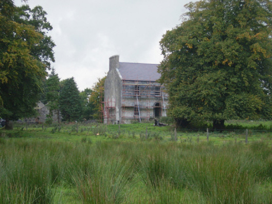 Holywell Housefarm house · 1.1 mi
 CastleCastle, unclassified · 2.0 mi
 Knock MuseumMuseum · 4.8 mi
 Knock ShrineHeritage attraction · 4.8 mi
 Ballybooley CastleCastle · 5.4 mi
 Oak WoodForest · 8.2 mi
 Geoffrey's WoodForest · 9.0 mi
 Mass RockNamed rock · 17 mi
 Enclosure in CloontumperEnclosure · 1082 yd