What is recorded here
Topsoil stripping for a section of pipeline in 2002 revealed the severely truncated remains of a fulacht fia. Located in low, marginal land with a water source to the east. Traces of a burnt mound (L10.2m, Wth 2m, D 0.2m). A possible trough was identifiable as a dense concentration of firing material (L1.2m, Wth 0.6m)which lay 5m N of the main spread. It had a flattened, U-shaped profile with steep sides and a gradually sloping concave base (Tobin 2004, 170). Excavated.
Compiled by: Geraldine Stout
Date of upload: 26 August 2011
The monument record does not grant public access. Check the route and ask the landowner before entering private land.
- What survives
- Recorded monument
Places near here
 Fulacht fia in KnockFulacht fia · 1 yd
 Windmill stumpWindmill · 323 yd
 Wavin LakesNature reserve · 804 yd
 QuarryQuarry · 1349 yd
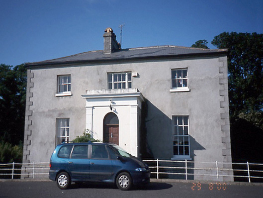 Tara Houserectory/glebe/vicarage/curate's house · 1387 yd
 Balrothery TowerCastle · 1550 yd
 Balrothery Heritage CentreMuseum · 1564 yd
 Flat cemetery in DarcystownFlat cemetery · 1.0 mi
 Castle (remains of)Castle, tower house · 1.3 mi
 Man O'War HillMountain / peak · 1.6 mi
 Clonard SpringSpring · 1.8 mi
 Barn WoodWood · 1.9 mi