What is recorded here
In tillage, on a N-facing slope and c. 120m E of a stream. A roughly semicircular spread (46.7m N-S; 15.2m E-W) of heat-shattered stones and charcoal-enriched soil with an opening facing to the W, towards a nearby stream (SMR file).
The above description is derived from 'The Archaeological Inventory of County Cork. Volume 5' (Dublin: Stationery Office, 2009).
Date of upload: 22 December 2009
The monument record does not grant public access. Check the route and ask the landowner before entering private land.
- What survives
- Recorded monument
Places near here
 Enclosure in BoardeeEnclosure · 1220 yd
 IndicatedHouse, vernacular house · 1277 yd
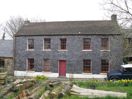 Kilmoney Househouse · 1551 yd
 Mass-rock in BoardeeMass-rock · 1.3 mi
 Ballea CastleCastle, tower house · 1.6 mi
 Meadstown Castle (Site of)Castle, unclassified · 1.9 mi
 St Laitiarain's WellSpring · 3.3 mi
 Coolmore WoodWood · 3.7 mi
 Pauper's GraveyardArchaeological place · 3.8 mi
 Loughbeg Bird ReserveNature reserve · 4.3 mi
 Manx2 Flight 7100aviation accident · 4.4 mi
 Fountainstown BeachBeach / strand · 4.7 mi